Land that can be used to grow crops goes by a few different names depending on context, and getting the terminology right matters whether you're reading a soil survey, filling out a USDA form, or trying to understand why wheat dominated the Great Plains for centuries. The two terms you'll encounter most are arable land and agricultural land, and they're not quite the same thing.
Land That Can Be Used to Grow Crops: How to Identify It

Samuel Rourke
19 Apr 2026
Key terms: what this land is actually called
Arable land, in the FAO's formal definition, is land used in most years for growing temporary crops. That includes things like grain fields, vegetable gardens, and temporary fallow ground resting between plantings. It does not include permanent crops (orchards, vineyards), permanent pastures, or land that's merely potentially cultivable but isn't normally farmed. The World Bank's definition adds temporary meadows for mowing and market/kitchen gardens to the list, but reinforces that arable land is not meant to measure how much land could theoretically grow crops, just what's actually being used for them.
Agricultural land is a broader umbrella that covers both arable land and permanent cropped land. So a citrus grove in Florida technically sits on agricultural land but not arable land. Then there's cultivable land, which is a looser, more conversational term for land capable of supporting crops, even if it isn't under cultivation right now. You'll also hear farmland used as a general term, though it often includes pasture and other non-cropped areas depending on who's using it. For this article, we're focused on land that can actively grow food or fiber crops, which lands squarely in the arable or cultivable categories.
One nuance worth knowing: the FAO itself acknowledges that different countries use arable differently. Some mean land currently under cultivation; others mean land potentially suitable for it. When you're reading historical agricultural records or comparing crop data across countries, that distinction can shift the numbers significantly. Keep it in mind.
Quick checklist to judge crop suitability on your land
Before diving into the details of each factor, here's a fast field-level checklist you can run through for any piece of land. Think of this as your first pass before committing resources to soil testing or crop planning.
- Check your USDA Plant Hardiness Zone to confirm winter temperature extremes won't kill your target crops.
- Count your frost-free days using NOAA's average first and last frost dates for your area, and confirm you have a long enough growing season.
- Estimate annual rainfall and decide whether you'll need irrigation to meet crop water demands.
- Walk the land and assess slope: slopes above about 8 percent introduce significant erosion risk for row crops.
- Look for signs of poor drainage: standing water, gley-colored (gray or mottled) subsoil, or consistently wet areas after rain.
- Dig a shovel-depth test hole: check soil depth, texture (sandy, loamy, or clay-heavy), and structure.
- Run a basic soil test for pH, macronutrients, and if the land has any industrial or urban history, test for heavy metals.
- Check your local FEMA Flood Map to see whether the parcel sits in a mapped flood hazard zone.
- Pull up the NRCS Web Soil Survey for your parcel to get mapped soil series, capability class, and drainage class.
If you clear most of those hurdles, your land has real potential. The sections below explain each factor in the detail you need to actually act on them.
Climate requirements: temperature, frost, season length, and rainfall
Temperature is the starting filter for crop suitability. The USDA Plant Hardiness Zone Map is the standard reference: it divides North America into zones based on average annual extreme minimum winter temperatures, running from Zone 1 (coldest) through Zone 13 (warmest), in blank" rel="noopener noreferrer">10-degree Fahrenheit increments. If you're in Zone 5 and you want to grow figs outdoors year-round, you're fighting a losing battle. The zone tells you what can survive your winters, and that anchors everything else.
Growing degree days (GDD) take temperature a step further. GDD is an accumulated heat index used to estimate when crops will mature. Corn, for example, is rated in GDD units, and a variety rated at 2,700 GDD needs a region that reliably accumulates that much seasonal heat above the crop's base temperature (usually 50°F for corn). NOAA's Climate Prediction Center treats GDD as a standard index for crop maturity, and the USDA Climate Hubs combine GDD with hardiness and heat zones to give a fuller picture of what a location can actually support across a season.
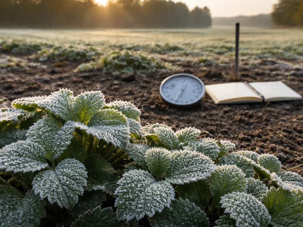
Frost dates define your effective growing window. NOAA publishes average first and last frost dates by location, calculated from historical records through 2020. NOAA NCEI explains first freeze using a climatological definition based on expected surface air temperatures of 32°F or below, and it also discusses average date maps that can help with agriculture planning. The days between your average last spring frost and first fall frost is your frost-free season. Short-season crops like lettuce or radishes can fit into a 60-day window; field corn needs 100 to 120 days minimum; many citrus varieties need 200-plus frost-free days. Knowing your window upfront prevents expensive mistakes.
Rainfall and irrigation complete the climate picture. Most annual vegetable crops need somewhere between 1 and 2 inches of water per week during the growing season. If your regional rainfall averages fall below crop needs, you're looking at supplemental irrigation as a requirement, not an option. Conversely, excessive rainfall in heavy clay soils can create waterlogging problems even in climates that look favorable on paper. The right question isn't just how much rain falls, but when it falls and whether your soil can handle the timing.
Soil factors that decide whether crops can actually thrive
Soil is where most crops succeed or fail, often before a single seed goes in the ground. The NRCS identifies several key physical indicators: bulk density, infiltration rate, soil structure, depth to restrictive layers, and water-holding capacity. Each of these affects whether roots can penetrate, whether water and nutrients move properly, and whether the soil can sustain a crop through a full season.
Depth and texture
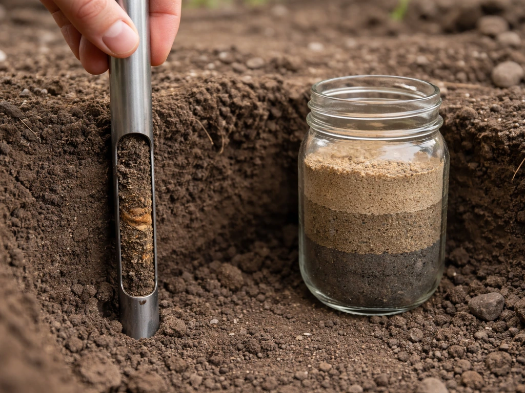
Effective rooting depth is one of the most underrated factors in crop suitability. The US Forest Service notes that soil productivity depends heavily on the soil volume available for roots to explore, and that shallow soils with restrictive layers (hardpan, fragipan, bedrock) significantly limit that volume. Most annual crops want at least 12 to 18 inches of workable soil; perennial crops and some root vegetables want more. Dig down and see what you're dealing with. A spade can tell you a lot in five minutes.
Soil texture, the balance of sand, silt, and clay particles, controls drainage, water retention, and workability. Sandy soils drain fast and warm up quickly in spring (great for early crops) but hold nutrients poorly. Heavy clay soils hold moisture and nutrients well but can compact, drain slowly, and be difficult to till. Loam soils, a balanced mix, are generally the most forgiving for a wide range of crops. You can get a rough texture reading in the field by moistening a soil sample and feeling whether it ribbons (clay-heavy), feels gritty (sandy), or holds together loosely (loamy).
pH and nutrient availability
Soil pH controls whether nutrients are chemically available to plant roots, regardless of how much is physically present in the soil. Most vegetable crops thrive at pH 6.0 to 7.0, with 6.5 being widely cited as the optimum by UConn Extension and Oregon State University Extension alike. Outside that range, nutrients like phosphorus, iron, and manganese can lock up or become toxic, stunting growth even in otherwise fertile ground. A soil test from your local cooperative extension lab will give you your actual pH and the lime or sulfur rate needed to correct it. This is a $15 to $30 test that can save you a whole season.
Salinity, sodicity, and contamination
Saline soils have elevated soluble salts that can restrict seed germination and stunt root growth. Sodic soils have high exchangeable sodium relative to other cations, which damages soil structure and dramatically reduces infiltration, essentially turning the soil into a hard, crusted barrier. NRCS soil survey documents distinguish between the two because the correction strategies differ: saline soils typically respond to leaching with good-quality water, while sodic soils usually need gypsum applications before leaching will work. NDSU Extension recommends targeted sampling of unproductive areas to catch these problems, which often show up as pale-colored, crusty patches with sparse or absent vegetation.
Contamination is a different category of concern, especially on urban fringe land, former industrial sites, or land near older orchards that may have received lead arsenate pesticide applications. Cornell Small Farms guidance recommends evaluating land-use history before farming any land with an uncertain past and using soil testing for heavy metals including lead, arsenic, and mercury. The EPA publishes ecological soil screening levels for metal contaminants, and University of New Hampshire Extension provides tables for interpreting heavy metal test results against those thresholds. If you're growing food, this check is not optional.
Land constraints: slope, drainage, erosion, and flooding
Even good soil can be undermined by the physical layout of the land. The NRCS Land Judging system formally evaluates land capability by factoring in slope, erosion hazard, and soil limitations together. Steeper slopes amplify erosion risk for any disturbed or tilled crop system, and the NRCS Highly Erodible Land determination process (using Form NRCS-CPA-026) is a formal way that slope and erodibility factor into federal farm program compliance. For practical planning purposes, land with slopes greater than about 8 percent is challenging for conventional row crops and may require terracing, cover cropping, or a shift to perennial systems.
Drainage is both a soil property and a landscape position issue. The Forest Service links drainage directly to depth of the water table, which affects how much rooting volume is actually usable. High water tables saturate the root zone, cut off oxygen, and can make fields impassable with equipment during critical planting or harvest windows. Drainage class is mapped in the NRCS Web Soil Survey and ranges from excessively drained (often sandy) to very poorly drained (often in low-lying areas). Moderate to well-drained soils cover the sweet spot for most annual crops.
Flood risk is a separate but related concern. FEMA's Flood Map Service Center is the official source for National Flood Insurance Program flood hazard mapping, and it will show you whether a parcel sits in a 100-year or 500-year floodplain. Fields in flood hazard zones aren't automatically unsuitable for crops, but periodic flooding affects what you can plant, when you can plant it, and whether you can insure it. Some crops (rice, certain willows, taro) actually tolerate or require flooding; most row crops do not.
Matching land conditions to crop choices: regional and historical perspective
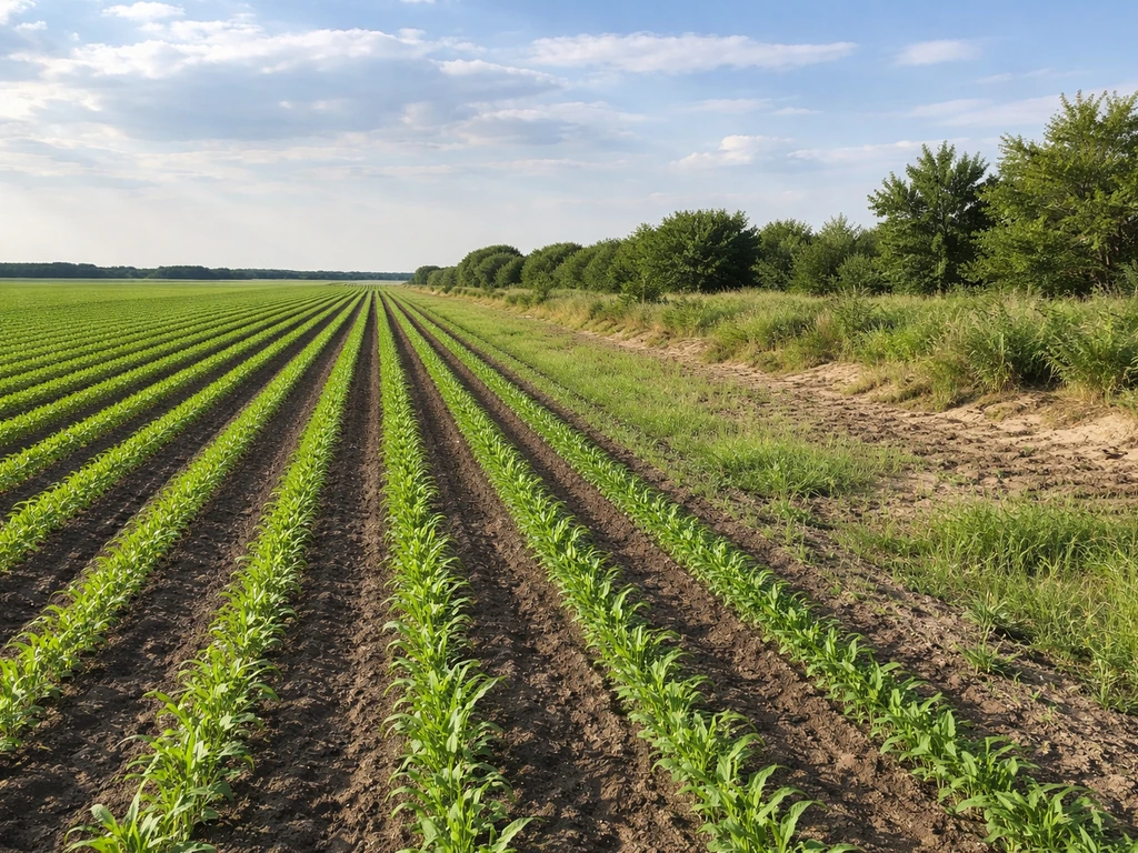
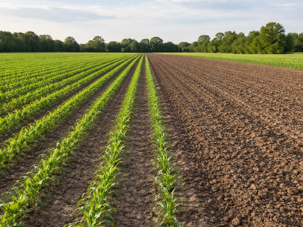
Once you understand your land's climate envelope, soil character, and physical constraints, the next step is matching those conditions to realistic crop options. This is exactly the logic that has shaped agricultural patterns across regions and throughout history. The crops that dominated any given geography weren't random choices: they were the species that fit local conditions well enough to be reliably productive.
The deep, well-drained, high-organic-matter mollisols of the U.S. Corn Belt exist because of a specific combination of moderate rainfall, a long frost-free season, and glacially deposited parent material. Corn and soybeans thrive there not just because of breeding, but because the base conditions align almost perfectly with those crops' needs. Move to the short-season northern Plains, and the climate window forces a shift to spring wheat, canola, and pulse crops that mature in 90 to 100 days. Move to the arid Southwest, and you're looking at crops like sorghum, cotton, or vegetables under irrigation, where water management replaces rainfall as the limiting factor.
Historical agricultural patterns follow exactly this logic. Ancient Mesopotamian civilizations grew barley rather than wheat in their most saline soils, because barley tolerates salt stress better. The Three Sisters system used by Indigenous peoples across North America (corn, beans, and squash grown together) worked because it matched the soil-building and moisture-retention constraints of the regions where it was practiced. Understanding why crops grew where they did historically isn't just an academic exercise: it's a shortcut to understanding what your land can support now. Those unwanted plants that grow along with crops are called weeds.
| Land/Soil Condition | Crops that generally fit | Crops to avoid or amend for |
|---|---|---|
| Deep, loamy, well-drained, pH 6–7 | Corn, soybeans, wheat, most vegetables | None major; high flexibility |
| Sandy, low organic matter, fast draining | Potatoes, sweet potatoes, peanuts, carrots, watermelon | Heavy-feeder brassicas without amendments |
| Clay-heavy, slow draining | Rice (flooded system), some grasses, winter wheat | Root vegetables, most row crops without drainage work |
| Shallow soil over restrictive layer | Annual cover crops, shallow-rooted greens, herbs | Corn, trees, deep-rooted perennials |
| Mildly saline | Barley, sugar beet, cotton, asparagus | Beans, most vegetables without remediation |
| Short frost-free season (<100 days) | Spring wheat, oats, lettuce, kale, radishes, peas | Corn, tomatoes, peppers (except short-season varieties) |
| Long frost-free season (200+ days) | Citrus, cotton, sweet potato, peppers, melons | No significant constraints from season length |
| Sloped land (8%+), erosion-prone | Perennial forages, orchards with cover, terraced vegetables | Conventional till row crops without conservation practices |
If you're exploring what's realistic for a specific region or trying to understand what made certain crops historically dominant somewhere, the same factors apply: climate window, soil type, water availability, and slope. The regional crop patterns you see on maps of the U.S. or across global agriculture are the accumulated result of those constraints playing out over decades or centuries. Related questions, like what you can grow specifically on pasture land converted to cropland, or what conditions make land easy to farm versus labor-intensive, all trace back to these same foundational factors. Whether you can grow crops on pasture land depends on the same climate, soil, and drainage factors, plus how feasible it is to convert and manage that ground what you can grow specifically on pasture land converted to cropland.
Tools and next steps: where to get real data for your land
You don't have to guess about most of this. Several free, authoritative tools will give you site-specific data faster than any general guide can.
- NRCS Web Soil Survey (websoilsurvey.nrcs.usda.gov): Enter your address or draw your parcel boundary to get mapped soil series, drainage class, Land Capability Class, and dozens of soil interpretations including crop suitability ratings. This should be your first stop.
- USDA Plant Hardiness Zone Map (planthardiness.ars.usda.gov): Look up your hardiness zone by ZIP code to anchor your crop selection to what can realistically survive winter conditions.
- NOAA Frost Dates (weather.gov): Find average first and last frost dates for your nearest weather station to calculate your frost-free growing window.
- NOAA Climate Data Online (ncei.noaa.gov): Pull historical precipitation and temperature normals for your region to understand rainfall patterns and seasonal heat accumulation.
- FEMA Flood Map Service Center (msc.fema.gov): Check whether your parcel is mapped in a Special Flood Hazard Area before committing to perennial or high-investment annual crops.
- Your state's cooperative extension service: The single best local resource for soil test submission, crop variety recommendations, and region-specific guidance. Most offer soil testing for $15 to $30 and will include lime and fertilizer recommendations.
- NRCS Soil Quality Test Kit Guide: If you want to do basic field assessments yourself, this free PDF walks you through bulk density measurements, infiltration tests, and other hands-on indicators you can do with simple tools.
For contamination concerns, the EPA's ecological soil screening levels document and your state's department of agriculture or environmental quality office are the right starting points. If you have any reason to suspect heavy metals or other contaminants, pay for a full metals panel through a certified lab, not just a standard agronomic soil test. The standard test won't catch lead or arsenic.
The practical sequence is: check your climate constraints first (hardiness zone, frost dates, GDD), then pull your Web Soil Survey data, then do a physical field assessment (drainage, depth, slope), then run a soil test. By the time you have those four pieces of information in hand, you'll have a realistic short list of crops your land can support. From there, matching crop to land becomes a matter of choosing varieties, planning rotations, and deciding where improvement (drainage work, pH correction, organic matter addition) is worth the investment. That's the same logic farmers and civilizations have applied to agricultural land for thousands of years. Agricultural land that can actively grow crops depends on climate, soil, drainage, and season-length fit, which is true of all crops that humans grow. If a crop needs more land to reach the same output, the limiting factors often come back to climate, soil, and season-length what would require more land to grow food crops. If you want the practical answer to what can i grow on agricultural land, start by matching your climate, soil, and drainage constraints to specific crop options. Land where crops grow easily depends on the same climate, soil, and drainage factors. The tools are just better now.
FAQ
How can land be called agricultural land but still not work for growing crops profitably?
A parcel can be “cultivable” or even classified as agricultural land, but still be unsuitable for crops if the soil is too shallow (restrictive layer within about 12 inches), the drainage is too poor (water table stays near the root zone), or the field has persistent flooding. In those cases, you may need land shaping (ditching, grading), raised beds, or a crop choice that tolerates the limitation.
What’s the difference between using frost dates and using growing degree days when choosing crops?
Use the frost-free season and GDD together. A crop might fit the frost dates but fail to reach maturity if heat accumulation (GDD) is too low, or it might make GDD but still get hit by early fall frost. When you are comparing varieties, choose ones marketed for your GDD range, not just your planting calendar.
What should I check if the area “has enough rainfall” on average, but irrigation might be limited?
If you lack a reliable irrigation water source, treat water as a constraint first. Many crop “fits” assume supplemental irrigation is available, but if your well capacity, permitted withdrawals, or distribution method can’t meet peak weekly demand, you need drought-tolerant varieties or lower-water crop types. Also factor irrigation timing, not only total seasonal inches, because water stress around flowering and early root establishment is often what reduces yield.
How should I sample soil to avoid missing salinity, sodicity, or pH problems?
Don’t rely on one soil sample from one corner. For accuracy, sample by uniform zones (slope position, soil color, past management) and take multiple cores per zone, then composite. Salinity, sodicity, and pH can vary sharply across a field, especially near low spots, old fence lines, or where irrigation water used to pool.
When do I need a “more advanced” soil test than a standard N-P-K and pH panel?
A basic agronomic test is usually fine for pH and nutrient levels, but it may not include metals, salts, or sodicity indicators. If you’re on former industrial land, near older orchards, or importing compost/fill from unknown sources, request a full metals panel plus electrical conductivity and sodicity-related measurements. If you are unsure what to order, ask the lab to recommend a risk-based suite for food production.
If I test and find contamination, what are the practical next steps for edible crops?
If you plan to farm food crops, treat contamination risk as binary (test first) rather than “maybe fine.” Lead and arsenic concerns can be higher in topsoil than deeper layers, so ask for sampling depth (common practice is to test both 0 to 6 inches and deeper layers). If results are elevated, you may need soil removal, capping with clean soil, or a raised-bed approach using tested growing media.
How does slope change what crop systems are realistically workable?
Slope is not just about erosion, it also affects tillage feasibility and drainage. On steeper ground, even “good” soils can become unworkable due to runoff, shallow topsoil, and thin infiltration. Before investing in improvements, check whether you need contouring, terracing, or whether switching to less erosion-prone systems (perennials, cover-cropped rotations, strip till) is more realistic.
What are signs that drainage issues are localized rather than uniform across a property?
A field can be “well drained” in general yet still have unusable spots if there are perched water tables, compacted layers, or channels. Look for signs like long-lasting wetness after rain, surface crusting, or areas that can’t support typical traffic. Then target those zones for deeper infiltration and compaction checks, not just surface texture.
Can land in a floodplain still be used for cropping, and how do I decide if it’s workable?
In flood-prone areas, suitability depends on flood frequency, flood duration, and whether soils stay oxygen-starved. If flooding is occasional and brief, some crops can work, but if the land stays saturated for long periods, you need crops adapted to waterlogging (or you redesign the system, such as raised beds and improved runoff paths). Also confirm whether flooding affects soil salinity or leaves sediment, because that changes fertility and contamination risk.
How do weeds factor into whether a property is actually “good land” for crops?
Weeds are a management and mapping problem as much as a land-suitability one. If weed pressure is extreme, it can mean the soil is disturbed, nutrient levels are mismatched, drainage is off, or past herbicide history leaves gaps. Start by identifying dominant weeds and reviewing prior land use, then choose a crop and rotation that suppress weeds, and budget for the first-season control plan.
What makes converting pasture land to cropland harder than expected?
Yes, but conversion feasibility matters. Pasture to cropland can succeed if the field has enough soil depth, drainage that lets you plant and harvest on time, and a workable slope. The main hidden costs are removing sod, leveling ruts, dealing with compaction, and managing root-ridden areas. Plan on soil structure recovery, not just nutrient correction, before expecting full yields.
Next Articles
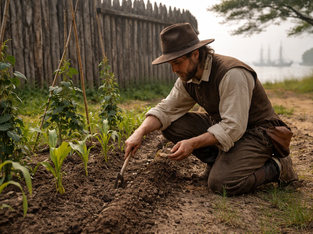
What Did Jamestown Grow and How They Farmed It
Learn what Jamestown colonists grew and the methods they used to plant, harvest, and adapt crops to Virginia conditions.
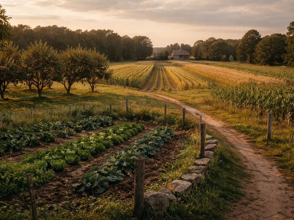
What Did the New England Colonies Grow? Major Crops
Major New England colonial crops explained by climate and soil, from corn and wheat to beans and hay, plus today’s paral
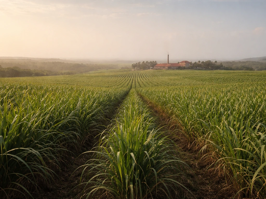
What Europeans Mostly Grew in Caribbean Colonies
Learn which crops Europeans dominated in Caribbean colonies, especially sugarcane, plus key supporting estate plants by