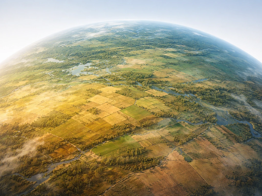
Crops grow where their basic needs are met: the right temperature range, enough water (from rain or irrigation), workable soil, and enough sunlight hours through the growing season. Get all four right and almost any crop can thrive almost anywhere. Miss one and you're fighting an uphill battle. The rest of this guide maps out exactly where those conditions line up for the world's major crops, breaks down U.S. regional patterns, and gives you a practical way to check your own location.
Where Do Crops Grow? Climate, Soil, and Water Rules

Samuel Rourke
6 Jun 2026
Global climate zones and crop suitability basics

The most reliable framework for predicting where crops grow is the Köppen climate classification system, which divides the world into five broad zones: tropical, dry (arid/semi-arid), temperate, continental, and polar. Most food production happens in just three of those: tropical, dry (with irrigation), and temperate. Polar and high-alpine zones are largely off the table for conventional crops.
The FAO's Global Agro-Ecological Zones (GAEZ) project takes this further by layering temperature data, rainfall patterns, soil attributes, and landform characteristics into 'agro-ecological cells' that can be matched against the specific requirements of individual crops. FAO agro-ecological zoning builds “agro-ecological cells” by combining climate layers with soil and landform attributes, then matching those layers to crop requirements. The result is a suitability map for virtually any crop in any place. You don't need to run the FAO's full model yourself, but understanding the logic behind it, matching a crop's temperature and moisture window to a location's climate profile, is exactly the mental model you want when figuring out where something can grow.
In practical terms, crop suitability breaks down to four climate-based questions: What are the average minimum and maximum temperatures during the growing season? How much rainfall falls and when? What is the soil's texture, drainage, and fertility? And for crops that are photoperiod-sensitive (like soybeans and some grains), how many daylight hours does the location offer at key growth stages? Nail down those four numbers for a location and you can predict with reasonable confidence what will and won't grow there.
Where different major crops grow, by region and climate
Here's a practical breakdown of where the world's main crop categories naturally thrive, organized by the climate conditions that drive them.
Grains (wheat, rice, corn, sorghum)
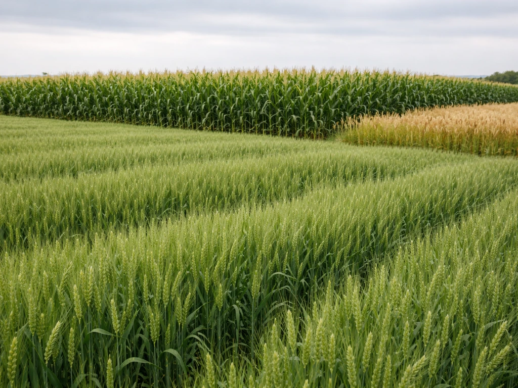
Wheat is a cool-season crop that does best between 55°F and 75°F (13–24°C) during grain fill, making temperate continental zones its home: the Great Plains of the U.S. and Canada, the North China Plain, Northern India, Eastern Europe, and the Australian wheat belt. Rice is the opposite: it thrives in hot, humid, flooded conditions, which is why it dominates South and Southeast Asia, parts of sub-Saharan Africa, and river deltas worldwide. Corn (maize) needs warm nights (above 50°F/10°C) and moderate to high moisture across a long summer, placing it firmly in humid continental and subtropical climates: the U.S. Corn Belt, Brazil's Mato Grosso, Southern China, and parts of East Africa. Sorghum is the drought-tolerant outlier; it grows where corn can't quite make it, in semi-arid zones across the Sahel, Southern Africa, and the drier parts of the U.S. Great Plains.
Legumes (soybeans, chickpeas, lentils)
Soybeans need warm summers and moderate moisture, and they're strongly photoperiod-sensitive, meaning day length controls when they flower. That pins production to a fairly narrow latitude band: roughly 25°N to 45°N and a similar band in the Southern Hemisphere, covering the U.S. Midwest, Brazil's Cerrado, and parts of China and Ukraine. Chickpeas and lentils, by contrast, are cool-season crops that prefer drier conditions, placing them in semi-arid temperate zones: the Indian subcontinent, the Canadian prairies, the Middle East, and Mediterranean-climate regions of Australia.
Fruits and vegetables
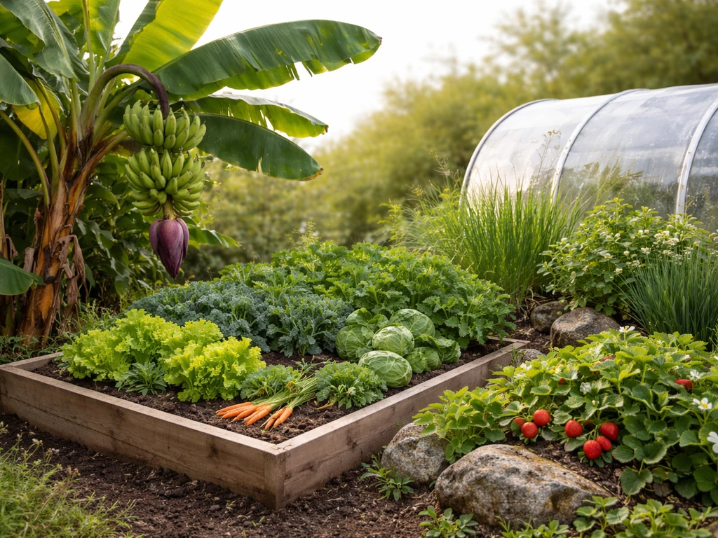
This category is the most geographically diverse because it includes everything from tropical bananas to alpine strawberries. Broadly: tropical fruits (bananas, mangoes, papayas) need frost-free conditions year-round, placing them in humid tropical zones between roughly 20°N and 20°S. Citrus tolerates a slightly cooler but still frost-light Mediterranean or subtropical climate (Florida, Southern California, Spain, Brazil, China). Temperate fruits like apples, pears, and cherries actually need winter chill hours (a certain number of hours below 45°F/7°C) to break dormancy, so they grow in the same temperate zones as wheat but at higher latitudes or elevations. Vegetables are the most flexible of all, since many are fast-maturing annuals that can be fitted into almost any climate's growing window, though most prefer cool or mild temperatures for quality.
Oilseeds and industrial crops (sunflowers, cotton, sugarcane)
Sunflowers tolerate semi-arid continental climates exceptionally well and are grown heavily across Eastern Europe (Ukraine, Russia), Argentina, and the U.S. Northern Plains. Cotton is a long-season, heat-loving crop that demands at least 200 frost-free days and full sun, concentrating it in subtropical and warm temperate zones: the U.S. South, India, China's Xinjiang, and parts of Central Asia. Sugarcane is essentially a tropical grass requiring abundant heat and moisture for 10 to 12 months, making Brazil, India, and Thailand its dominant producers. Sugarbeet fills a similar sugar-production role but thrives in temperate continental zones where sugarcane would fail: France, Germany, and the U.S. Upper Midwest.
U.S. crop patterns: regional clusters that make sense once you see the map
The United States has some of the most clearly defined agricultural belts in the world, and they map almost perfectly onto climate and soil zones. Once you understand the logic, you'll stop being surprised by which states top the production lists.
| U.S. Region / Belt | Primary Crops | Why It Works |
|---|---|---|
| Corn Belt (Iowa, Illinois, Indiana, Ohio, Minnesota) | Corn, soybeans | Deep fertile Mollisol soils, warm humid summers, ~30–40 inches annual rainfall |
| Winter Wheat Belt (Kansas, Oklahoma, Texas Panhandle, Eastern Colorado) | Hard red winter wheat | Semi-arid climate, cold winters for vernalization, harvest before summer heat peaks |
| Spring Wheat Belt (North Dakota, South Dakota, Montana) | Hard red spring wheat, durum wheat | Short but warm summers, continental climate, lower disease pressure |
| Cotton Belt (Texas, Georgia, Mississippi, Arkansas, Alabama) | Upland cotton | 200+ frost-free days, hot summers, adequate moisture or irrigation |
| Soybean Belt (overlaps Corn Belt; extends to Missouri, Arkansas) | Soybeans | Same moisture and soil conditions as corn; photoperiod suits mid-latitude summers |
| Specialty Crop West (California Central Valley, Pacific Northwest) | Fruits, vegetables, nuts, wine grapes, hops | Mediterranean climate, irrigation infrastructure, long growing season, diverse microclimates |
| Rice Belt (Arkansas, Louisiana, Mississippi Delta, California Sacramento Valley) | Long-grain and medium-grain rice | Flat alluvial land, hot summers, access to irrigation water |
| Sugarcane (Florida, Louisiana, Hawaii) | Sugarcane | Subtropical to tropical conditions, frost-free growing season of 9–12 months |
| Potato Belt (Idaho, Washington, Wisconsin, Maine) | Russet and other potatoes | Cool summers, well-drained sandy loam soils, reliable irrigation in arid western sites |
It's worth noting that the 'best states' for any given crop aren't just about climate, they're also about the accumulated infrastructure: grain elevators, processing facilities, seed genetics developed for that region, and cooperative extension networks. That's why crop belts are sticky even as climate shifts gradually pressure their edges.
Soil, water, and day length: the three factors that quietly decide everything
Soil type and pH
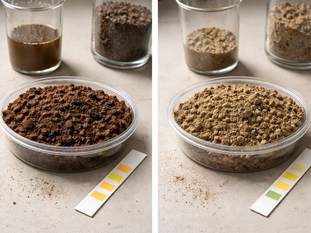
Climate gets most of the attention but soil is often the limiting factor at the local level. The FAO EcoCrop database explicitly scores crop suitability using soil pH requirements and drainage characteristics because they matter so much. Most field crops prefer a pH between 6.0 and 7.0, which is why heavily acidic soils (common in the humid southeastern U.S.) need liming before they can support corn or soybeans economically. Soil texture matters too: potatoes want well-drained, loose sandy loam; rice needs poorly drained or flooded clay soils to retain water. Wheat can handle heavier clay loams that other crops can't. If you skip the soil assessment, you can be in the right climate zone and still fail.
Water availability: rainfall vs. irrigation
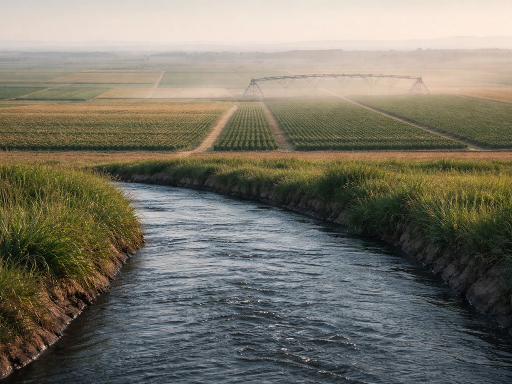
Roughly 40% of global food production comes from the 20% of cropland that's irrigated. That means a huge share of where crops actually grow today depends not on rainfall patterns but on access to river water, groundwater, or engineered water systems. California's Central Valley is the clearest U.S. example: it's essentially semi-arid, yet it produces more than a third of the country's vegetables and two-thirds of its fruits and nuts, entirely because of a massive irrigation network. Globally, the Indus Valley (Pakistan/Northwest India) and the North China Plain are similarly dependent on irrigation. When you're mapping crop potential, always check whether a region's production is rainfall-fed or irrigation-dependent, because irrigation-dependent systems are vulnerable to water scarcity in ways that rainfall-fed systems are not.
Day length and photoperiod
Photoperiod sensitivity is a factor most people overlook but it's critical for a handful of major crops. Soybeans are the classic example: they're 'short-day' plants that flower when nights get long enough, which means they're extremely latitude-sensitive. A soybean variety bred for Iowa (about 42°N) planted in Florida (about 27°N) will flower too early and produce a tiny plant with minimal yield. That's why soybean varieties are rated in 'maturity groups' from 000 (far north) to X (far south) and why you can't just move production to any warm place you like. Rice and sorghum have similar photoperiod sensitivities. The FAO EcoCrop tool accounts for this explicitly in its suitability scoring, making it particularly useful for crops where day length is a hard constraint.
How historical agriculture changed where crops grew
Today's crop map isn't a natural outcome of pure climate, it's the result of thousands of years of human movement, trade, and technology. Wheat and barley were domesticated in the Fertile Crescent (modern Iraq/Syria/Turkey) around 10,000 BCE and spread west into Europe and east into Central Asia over millennia. Maize was domesticated in southern Mexico around 9,000 years ago and didn't reach North America's eastern woodlands until roughly 1,000 CE, then arrived in Europe and Africa only after 1492. Rice, domesticated independently in China (Oryza sativa japonica) and possibly India, spread through Southeast Asia via river valleys and coastal trade routes. The Columbian Exchange after 1492 is probably the single biggest reshuffling of the world's crop map in history: potatoes moved from the Andes to Northern Europe, tomatoes from Mexico to Italy, and sweet potatoes to China, each transforming the agriculture and demographics of their new homes.
Three forces have historically driven these shifts: climate change (the Medieval Warm Period expanded viticulture in England; the Little Ice Age contracted it), irrigation technology (the ancient Mesopotamian canal systems and Roman aqueducts opened large dry zones to agriculture), and trade networks (the Silk Road moved crops like cotton and sorghum from South Asia into Central Asia and eventually Africa centuries before European contact). Today, the same forces are active: warming temperatures are shifting wheat and corn belts poleward, better drip irrigation is opening previously marginal land in sub-Saharan Africa, and global seed trade moves adapted varieties to new continents within a growing season.
How to find the exact answer for your location
If you need a specific answer for a particular place, whether that's your own backyard, a county you're studying, or a country you're researching, here's a practical step-by-step process that works for farmers, students, and gardeners alike.
- Start with climate data. For the U.S., USDA Plant Hardiness Zone maps and the NOAA Climate Data Online tool give you average minimum winter temperatures and growing-season length. For international locations, the WorldClim database provides free high-resolution climate grids (temperature, precipitation) that you can overlay on any map.
- Check soil data. In the U.S., the USDA Web Soil Survey (websoilsurvey.sc.egov.usda.gov) is the gold standard: type in any address or draw a polygon and get detailed soil texture, pH, drainage class, and crop capability ratings. Internationally, the FAO/IIASA HWSD (Harmonized World Soil Database) provides similar data globally.
- Use the FAO GAEZ portal (gaez.fao.org). This free tool lets you select any crop, any time period, and any input level (rainfed or irrigated) and shows you suitability scores mapped to your region. It's genuinely powerful and not as hard to use as it sounds.
- Cross-check with FAO EcoCrop. Look up the specific crop you're interested in and review its climate descriptor ranges (optimum and absolute temperature ranges, rainfall requirements, pH optimum, and photoperiod sensitivity). Compare those ranges against your location's actual values from steps 1 and 2.
- Look at what farmers nearby are already growing. Extension office crop reports, USDA NASS (National Agricultural Statistics Service) county-level data, and state agricultural department crop maps all tell you what's commercially viable in your exact region, which is often the most reliable ground-truth check of all.
- Account for water access. Check whether the crops you're interested in are realistic on rainfall alone or require irrigation, and whether water rights/supply exist in your target location.
- Match to a specific variety. Once you know the crop is suitable for your climate, dig into variety selection. University extension guides for your state or country are the best resource here, since they test local performance directly.
Common misconceptions, microclimates, and the irrigation exception
The biggest misconception is that climate zones are hard walls. They're not. They're probability statements, and a lot of real-world agriculture happens outside what a regional map would predict.
- Microclimates create surprising pockets of suitability. South-facing slopes in the Finger Lakes region of New York are warm enough to ripen wine grapes commercially, even though the regional climate would suggest otherwise. Frost pockets in valleys can make a location colder than a nearby hilltop by 5–10°F on a still night, completely changing what's viable.
- Irrigation rewrites the rainfall rule almost entirely. As mentioned earlier, California's Central Valley, Israel's Negev Desert, and Egypt's Nile Delta all produce enormous amounts of food in climates that would otherwise disqualify them. If water is available and affordable, the rainfall line on a climate map becomes largely irrelevant.
- Greenhouses and high tunnels extend growing seasons by weeks or months and can push crops into climates that would otherwise be too cold or too short. Tomatoes are grown commercially in greenhouses in Iceland. Strawberries are grown under plastic tunnels in Scotland's highland zones. The economics have to work, but the biology can.
- Elevation is a climate modifier that maps often miss. In tropical regions, elevation creates cool enough conditions to grow temperate crops: coffee grows best at 1,500–2,500 meters in Guatemala and Ethiopia; wheat is grown in the Ethiopian highlands at latitudes where the lowland climate would be far too hot.
- Crop suitability maps show averages and probabilities, not guarantees. A 'highly suitable' zone in the GAEZ model still has drought years, frost events, and disease pressure. A 'marginally suitable' zone might have perfectly reliable performance in most years. Local farmer experience and multi-year trial data always beat a suitability map in a specific field.
- Some crops sold as region-specific are actually much more flexible with modern breeding. Cold-tolerant corn varieties now push production well north of traditional Corn Belt limits. Drought-tolerant soybean varieties open semi-arid zones that would have been non-starters 30 years ago.
The practical upshot: use climate and soil mapping as your starting framework, but don't treat it as the final word. What's grown successfully by farmers near your target location is always the most reliable signal. What's grown successfully by farmers near your target location is always the most reliable signal, which is a practical way to answer where do farmers grow crops. From there, layer in the specific requirements of the crop you care about (temperature range, soil pH, water needs, photoperiod), check your location's real numbers against those requirements, and you'll have a solid, defensible answer to where that crop can grow and why. If you use this approach, you can also narrow down the answer to where farmers grow crops in Class 1 locations based on the right climate, water, and soil needs where do farmers grow crops class 1.
FAQ
If I live in a climate zone that supports a crop, why might it still fail at my exact location?
Because climate zones are probability bands, not spot-on guarantees. Local soil pH, drainage, and topography can override the broader pattern (for example, a clay pocket that drains poorly can ruin a crop that would otherwise match the temperature and rainfall profile).
What’s the quickest way to check whether a region is rainfall-fed or irrigation-dependent before choosing a crop?
Look for production where rainfall is normally insufficient but yields stay high and consistent, then confirm by checking the presence of river valleys, shallow groundwater, or major irrigation infrastructure. If a system relies on pumping or canal water, your crop choice should also account for seasonal water limits and drought restrictions.
How do I handle photoperiod-sensitive crops when moving them to a different latitude?
Use locally appropriate varieties with the correct maturity group, and match planting timing to local day-length at flowering. Even if temperatures seem warm enough, wrong photoperiod fit can cause early flowering and very low yield.
Do I need to measure soil pH for home gardening, or can I rely on climate alone?
Soil pH is often the make-or-break factor for nutrient availability and economic success, even in the right climate. A simple soil test can reveal whether liming or amendments are needed before you expect good growth (especially for corn or soybeans).
Can I grow “warm-climate” crops in a temperate area if I use a greenhouse or row covers?
You can overcome temperature and sometimes frost risk, but you cannot fully replace water management and soil limitations. Greenhouse success still depends on usable substrate drainage, nutrient balance, and irrigation control, and it may not solve photoperiod constraints for sensitive varieties.
What’s the most common mistake when using temperature ranges from general guides?
Using only average temperatures. Crop stress often comes from extremes during key stages (cold nights, heat spikes, or frost timing), so you need minimum and maximum conditions during the growing period, not just annual averages.
How can I tell if a crop’s water needs mean it will thrive or become risky in my area?
Compare the crop’s moisture requirement to your local water reliability, not just total annual rainfall. Locations with highly seasonal rainfall or tightening water policies can become risky for crops that need steady moisture throughout the season.
If two farms are in the same county, can their best crop choices differ?
Yes. Soil texture and drainage can vary sharply even within short distances, changing which crops perform well. One farm may support well-drained crops like potatoes, while another with heavier wet soils may need different varieties or crops.
Do crop belts move quickly when climate changes?
They shift gradually and unevenly because infrastructure and know-how “lock in” production. Grain handling, processing, seed genetics, and local farming practices can keep production in place even as conditions at the edge become less suitable.
For gardeners, what’s the best way to translate “where crops grow” into a real decision for my backyard?
Start with the crop’s temperature and water window, then verify local frost dates, sunlight, and drainage. Finally, if the crop is photoperiod-sensitive or requires specific soil chemistry, choose the right variety and amend soil based on a test rather than assuming the climate alone is enough.
Next Articles
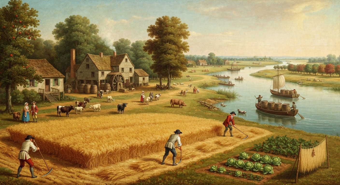
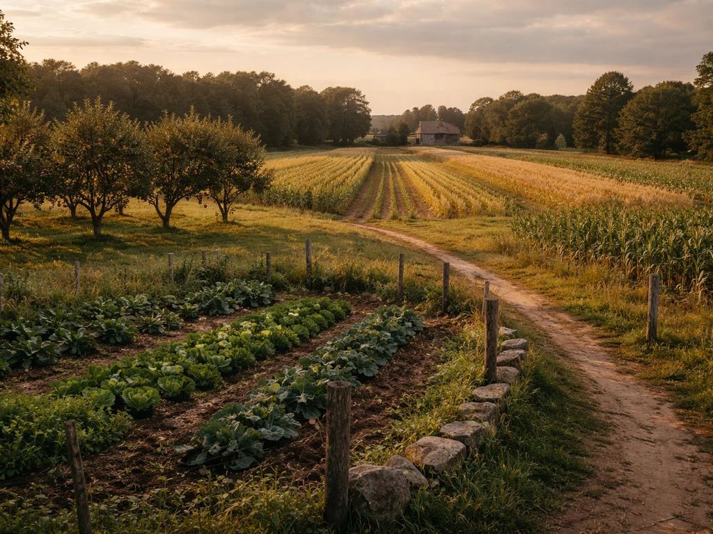
What Did the Delaware Colony Grow: Crops, Uses & Legacy
Colonial Delaware’s main crops, grains, hay, flax, fruits, vegetables, livestock, why they thrived and how they were sold.
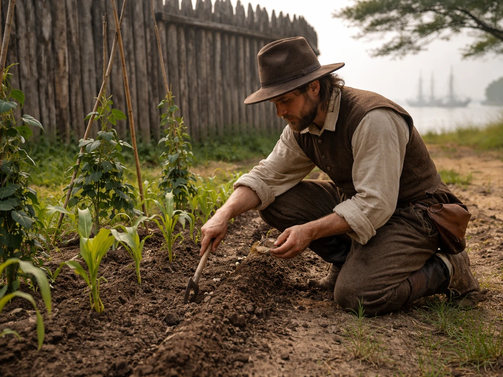
What Did Jamestown Grow and How They Farmed It
Learn what Jamestown colonists grew and the methods they used to plant, harvest, and adapt crops to Virginia conditions.
What Did the New England Colonies Grow? Major Crops
Major New England colonial crops explained by climate and soil, from corn and wheat to beans and hay, plus today’s paral