An area of land where farmers grow crops is called cropland, and depending on context you might also hear it called arable land, a cultivated field, agricultural land, or simply a plot or parcel. These terms all describe the same basic idea: a defined piece of ground that has been prepared, managed, and used to produce food, feed, fiber, or other plant-based products. Whether you are a student looking up a definition, a farmer evaluating a new field, a gardener wondering if your backyard qualifies, or a historian tracing ancient grain belts, the concept is the same. The ground beneath any crop has to meet certain conditions, and understanding those conditions is the practical heart of agriculture. Some sources use the phrase land where crops grow easily as an informal way to describe cropland or arable land. For a concise definition, see land that can be used to grow crops.
Area of Land Where Farmers Grow Crops: Definition & Guide

What Cropland Actually Means: Definitions and Common Synonyms
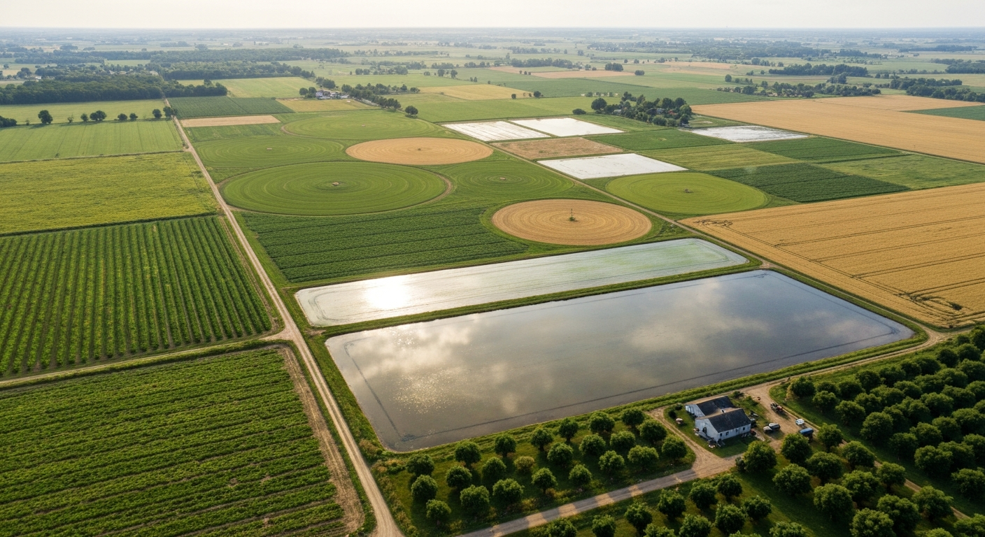
The Food and Agriculture Organization of the United Nations (FAO) defines cropland as the total of arable land and land under permanent crops. Arable land is specifically land used in most years for growing temporary crops, meaning plants that are sown, grown, and harvested within one growing season and then the ground is turned over again. Permanent cropland covers perennial plants like orchards, vineyards, and coffee plantations, where the same plants produce for many years without replanting after each harvest.
Beyond the formal FAO definition, the term shows up in several overlapping ways depending on who is using it. Here are the most common synonyms and what each one typically emphasizes:
- Cropland: the broadest official term, covering all land actively used to produce crops, including temporary fallow land resting between growing seasons.
- Arable land: technically refers to land capable of being plowed and used for annual crops; in casual use it often just means 'farmable land.'
- Cultivated field: emphasizes active management; a field that has been tilled, amended, seeded, and tended.
- Agricultural land: the widest umbrella, including cropland, permanent pasture, and managed woodland; not all agricultural land grows crops.
- Plot or parcel: informal terms for a bounded piece of land, often used for smaller holdings, gardens, or land-use planning documents.
- Farmland: a common everyday term without a strict technical boundary, covering both cropland and pasture in most usage.
- Tilth or tilled land: older or more literary terms emphasizing the physical act of preparing the soil, still found in historical agricultural texts.
For statistical purposes, FAOSTAT (the FAO's global database) tracks cropland area by country and over time, and it is the standard reference for comparing how much of any nation's surface is under crop production. The European Union uses the Copernicus CORINE land-cover classification, which defines annual cropland as land harvested at least once in a 12-month period. These different frameworks matter when you are reading a report or comparing data across countries, because the numbers can shift slightly depending on which definition a government uses.
How Agricultural Land Gets Classified
Not all farmland grows the same kind of crops, and land-use systems recognize several distinct categories. Getting these straight helps when reading land surveys, zoning documents, or historical agricultural records.
The Main Land-Use Categories
| Category | What It Includes | Typical Crops or Use | FAO Classification |
|---|---|---|---|
| Arable land | Land under temporary (annual) crops | Wheat, corn, soybeans, vegetables, rice | Subset of cropland |
| Permanent cropland | Land under perennial crops | Fruit trees, vines, coffee, cocoa, olives | Subset of cropland |
| Temporary fallow | Cropland resting between growing cycles | No crop; soil recovery or weed burndown | Counted within cropland |
| Permanent pasture | Grassland and rangeland for grazing | Grasses, legumes for livestock | Agricultural land, not cropland |
| Mixed/agro-forestry | Trees combined with crops or pasture | Agroforestry systems, silvopasture | Varies by system |
Temporary fallow is an important category that trips up students and even some policy documents. A field sitting empty for one season is still classified as cropland because it is part of an active rotation, not abandoned land. This distinction matters for farm subsidy programs, conservation compliance rules, and historical land-use accounting.
Legal and Land-Use Notes
In the United States, federal law and USDA NRCS guidance identify 'prime farmland' as land with the best combination of physical and chemical characteristics for producing crops economically. Prime farmland typically has adequate moisture supply, a favorable temperature and growing season, suitable pH and low salt levels, few rocks, permeable soils, and low erosion and flood risk. This designation carries real legal weight: proposed development on prime farmland triggers review under the Farmland Protection Policy Act, and NRCS's Land Evaluation and Site Assessment (LESA) system scores parcels to help planners weigh farmland protection against other land uses.
Local zoning ordinances also define what you can legally grow and how. Agricultural zoning (commonly labeled A-1 or A-2 in many U.S. counties) typically permits crop production, but nearby residential zones may restrict pesticide use, irrigation well drilling, or on-farm processing. If you are evaluating a parcel, confirming its zoning classification and any conservation easements or deed restrictions should be among your first steps before investing in soil amendments or irrigation infrastructure.
What Makes Land Suitable for Growing Crops
The FAO's foundational 1976 framework for land evaluation laid out the core diagnostic criteria that determine whether a parcel of land will support a given crop. These same factors are used today in the Global Agro-Ecological Zones (GAEZ) methodology, which combines crop ecophysiological requirements with climate, soil, and terrain data to map suitability classes from 'very suitable' to 'not suitable.' At the field level, six biophysical factors do most of the explanatory work.
Soil
Soil texture (the balance of sand, silt, and clay), depth to any restrictive layer or bedrock, organic carbon content, pH, cation exchange capacity, and bulk density all directly affect root growth, nutrient availability, and water retention. A deep, well-structured loam with good organic matter and a pH between 6.0 and 7.0 suits a wide range of crops. Extremely sandy soils drain too quickly and hold few nutrients; heavy clay soils may waterlog roots. The USDA NRCS Web Soil Survey provides parcel-level soil maps for the U.S. and interprets these attributes for specific crop uses, making it one of the most practical free tools available for farmers and land buyers. Globally, ISRIC SoilGrids provides gridded soil property data at standardized depths for areas where local soil surveys are limited. See SoilGrids FAQs and product documentation (ISRIC) for details on the gridded layers, variables, and standardized depths.
Climate
Temperature, frost-free days, growing degree units, and rainfall distribution define what can realistically be grown in a location. WorldClim provides high-resolution (approximately 1 km) global climate surfaces, and the updated Köppen-Geiger classification maps the macro-climatic zones that set broad cropping boundaries. Corn needs a long, warm growing season; winter wheat requires a cold vernalization period; rice thrives in hot, humid conditions with consistent water. A field in Minnesota's Zone 4 and a field in central California's Zone 9 may have equally excellent soils, but they will never grow the same crop calendar.
Water Availability and Drainage
Crops need water at the right time and in the right amount. Rainfall timing matters as much as total annual precipitation: a region receiving 24 inches of rain but concentrated in winter may still require summer irrigation for warm-season crops. Equally important is drainage. A field that holds standing water after rain for more than a few days risks root anoxia and disease. Seasonal water table depth, soil drainage class, and access to irrigation infrastructure (and legal water rights in western U.S. states where prior appropriation law applies) are all critical to assess.
Slope and Topography
Slope affects erosion risk, trafficability for farm equipment, and cold-air drainage (which influences frost risk). Land with less than 2 percent slope is generally ideal for row crops. Slopes between 2 and 6 percent are still manageable with good erosion controls. Above 8 to 12 percent, conventional tillage becomes erosion-prone, and most practical farmers shift to perennial crops, orchards on terraces, or permanent cover rather than annual tillage.
Drainage and Salinity
Poor drainage and salt accumulation are two of the most common reasons otherwise productive land falls out of crop production. Salinity (measured as electrical conductivity of a saturated extract, ECe) above 4 dS/m begins to suppress yields for sensitive crops like beans and carrots. Tolerant crops like barley and sugar beet can handle higher levels, but no common food crop thrives in highly saline soils. Salinity is a serious and growing issue in irrigated regions worldwide, from California's San Joaquin Valley to the Indus Plain in Pakistan, where centuries of irrigation without adequate leaching have raised salt levels.
Practical Land-Suitability Checklist Before You Plant
Whether you are evaluating a new farm purchase, converting pasture, or simply planning a large market garden, running through these steps before you invest in seeds, irrigation, or equipment will save significant time and money. This checklist draws on FAO land evaluation guidance and university extension protocols.
- Get a soil test: sample to 6–8 inches (the standard tillage depth) using 15–20 cores per field composited together. Test for pH, available phosphorus (P), potassium (K), organic matter, and salinity (ECe). Use a certified laboratory. Cornell Cooperative Extension and most land-grant university extension programs publish step-by-step sampling guides.
- Confirm your climate zone: look up your USDA Plant Hardiness Zone and identify your average frost-free days and growing degree days for your target crops. WorldClim data and your state's climate office can supplement local station records.
- Map slope and aspect: use USGS topographic data or your county's GIS portal. Flag any areas over 8 percent slope for special erosion management. Note north-facing vs. south-facing aspects in hilly terrain, since they affect soil temperature and frost timing.
- Evaluate drainage: dig a hole 18–24 inches deep and observe how quickly it drains after rain. Look for mottled gray or orange soil (indicating periodic saturation). Check the seasonal depth to the water table if possible.
- Check water access: confirm rainfall adequacy for your target crops. If irrigation is needed, verify that water rights, well permits, or surface-water access are legally secured before proceeding.
- Look up the land capability class: the USDA NRCS Land Capability Classification assigns fields to classes I through VIII. Classes I and II have the fewest limitations; class VIII land is not suitable for cultivation. Your county NRCS office or Web Soil Survey will show this for U.S. parcels.
- Check zoning and legal status: confirm the parcel's agricultural zoning, any easements or deed restrictions, prime farmland designation, and conservation program enrollment (such as CRP in the U.S.) that might limit cropping.
NRCS Land Capability Classes at a Glance
| Class | General Description | Suitable for Crops? |
|---|---|---|
| I | Nearly level, deep, well-drained soils; few limitations | Yes, wide range of crops |
| II | Slight limitations (gentle slope, minor drainage issues, moderate erosion risk) | Yes, with good management |
| III | Moderate limitations requiring careful management (steeper slope, slow drainage, moderate erosion) | Yes, with conservation practices |
| IV | Severe limitations; restricted crop choice | Limited; best for hay, pasture, or selected crops |
| V | Wetlands or flood-prone flats; not erodible but poorly drained | Very limited; pasture or forest preferred |
| VI | Very severe limitations; generally not suited for cultivation | No; pasture, range, or forestry |
| VII | Extremely severe limitations | No; range, woodland, or wildlife |
| VIII | Not suitable for any commercial crop production | No; recreation, watershed, wildlife |
Deciding What to Grow on a Parcel
Matching a crop to a field is both a science and a practical judgment. For practical, site-specific suggestions about suitable crops, see what can i grow on agricultural land. The GAEZ framework from FAO and IIASA formalizes this by layering crop-specific temperature requirements, water needs, growing-season length, and soil constraints against actual field conditions to generate suitability ratings. In practice, most farmers work from a simpler version of the same logic.
Matching Crops to Soil and Climate
Start with what your climate allows. A Kansas farmer in a semi-arid continental climate with 500–600 mm of annual precipitation and wide temperature swings is naturally suited for winter wheat, sorghum, and sunflower. A Georgia farmer in a humid subtropical climate with a long frost-free season and moderate but reliable summer rainfall can rotate cotton, peanuts, and corn. A Vermont farmer with a short growing season and cool summers will likely focus on cool-season vegetables, small grains, and hay rather than competing with Midwest commodity corn. Climate sets the outer boundary; your specific soil texture, pH, and drainage define what within that boundary will perform best.
Historically, these same matching principles drove ancient agricultural development. The Fertile Crescent of Mesopotamia, where wheat and barley were first domesticated around 10,000 BCE, offered a combination of silt-rich alluvial soils from the Tigris and Euphrates rivers, a Mediterranean rainfall pattern with dry summers, and a climate perfectly suited to winter annuals. Ancient Egypt's entire agricultural civilization was built on the Nile's annual flood deposit of fresh silt, which renewed soil fertility year after year without fallowing. These ancient farmers were solving the same land-suitability problem, just without soil test kits.
Planning Crop Rotations
No single crop should occupy the same ground year after year without a plan. Continuous monocultures exhaust specific nutrients, build up crop-specific pests and diseases, and degrade soil structure over time. A well-designed rotation breaks pest and disease cycles, manages different root depths (which affect different soil layers), and balances nitrogen demand with nitrogen-fixing legumes. A classic U.S. Corn Belt rotation of corn followed by soybeans works because soybeans fix atmospheric nitrogen that partially offsets corn's heavy nitrogen demand the following year. Adding a small grain like oats or wheat and a cover crop creates an even more resilient four-year rotation.
Market, Infrastructure, and Legal Constraints on Crop Choice
Soil and climate tell you what can grow. Markets, roads, storage, labor, zoning, and land tenure tell you what it makes sense to grow. These constraints are just as real as clay content or frost dates, and ignoring them is one of the most common reasons new farm enterprises fail.
- Market access: a highly perishable crop like fresh strawberries requires proximity to a market, a farmer's market channel, or a reliable refrigerated-transport arrangement. A commodity grain like corn or soybeans can be stored and shipped long distances, giving inland farmers more flexibility.
- Transport infrastructure: unpaved roads that become impassable in wet weather effectively eliminate any crop requiring frequent field passes or time-sensitive delivery.
- Storage and processing: grain crops need dry, secure storage; horticultural crops often need cold storage or immediate buyers. Lack of on-farm or nearby storage can make otherwise suitable crops economically unviable.
- Labor availability: labor-intensive crops like berries, tobacco, or vegetables require reliable seasonal labor, which is geographically and economically uneven.
- Water rights and irrigation permits: in the western United States, water law under the prior-appropriation doctrine means water rights are legally separate from land ownership. Buying land without confirming water rights can leave a farmer unable to irrigate even when the land is otherwise excellent.
- Conservation program enrollment: fields enrolled in the Conservation Reserve Program (CRP) or under a conservation easement may be legally prohibited from being tilled or cropped during the contract period.
- Zoning and land-use permits: some jurisdictions require permits for new irrigation wells, drainage tile installation, clearing of native vegetation, or construction of farm buildings. Check with your county planning and zoning office before breaking ground.
- Land tenure security: tenant farmers and sharecroppers have less incentive to invest in long-term soil health, cover crops, or perennial plantings if lease terms are short or insecure. Land tenure structure has shaped crop systems throughout history, from medieval open-field systems in Europe to sharecropping in the post-Civil War American South.
Weeds: The Unwanted Plants in Every Crop Field
A weed is simply a plant growing where it is not wanted. In a crop field, weeds compete directly with crops for light, water, nutrients, and space. They are not pests in the entomological sense (insects and mites are pests; pathogens like fungi and bacteria cause diseases), but they are managed as part of the same integrated approach. Understanding the distinction matters: a whitefly infestation is a pest problem requiring a different toolbox than a field overrun with waterhemp or Palmer amaranth.
Common Crop Field Weeds
- Palmer amaranth (Amaranthus palmeri): one of the most aggressive weeds in U.S. row crops; grows several inches per day under warm conditions and has developed resistance to multiple herbicide classes.
- Waterhemp (Amaranthus tuberculatus): similar to Palmer amaranth, particularly problematic in the Midwest Corn Belt.
- Common lambsquarters (Chenopodium album): fast-growing broadleaf found in vegetable fields and small grain crops globally.
- Giant foxtail (Setaria faberi): a grassy weed competitive in corn and soybean fields.
- Canada thistle (Cirsium arvense): a perennial with extensive root systems; very difficult to eradicate once established.
- Field bindweed (Convolvulus arvensis): a persistent perennial vine with deep roots; among the most difficult weeds to control in wheat and vegetable fields.
- Crabgrass (Digitaria spp.): annual grassy weed common in vegetable gardens and turfgrass.
Integrated Weed Management Approach
The University of California IPM program and FAO's Integrated Pest Management framework both recommend a layered approach to weed management rather than relying on a single tactic. The reasoning is practical: herbicide-only programs select for resistant biotypes, while tillage-only programs can accelerate erosion and disrupt soil structure. Combining methods reduces weed pressure more durably.
- Prevention: use certified weed-free seed, clean equipment before moving between fields, and avoid spreading weed-seed-contaminated manure or compost. The goal is to keep new weed species out of the field and prevent existing species from building up the soil seed bank.
- Cultural control: choose competitive crop varieties, maintain optimal plant populations for canopy closure, rotate crops to break weed cycles, and use cover crops to smother germinating weeds between main-crop seasons.
- Mechanical control: tillage (moldboard plowing, cultivation, rotary hoeing) physically destroys germinating weeds or buries weed seeds too deep to germinate. Timing is critical; cultivating too early or late can be counterproductive.
- Chemical control: selective herbicides target specific weed types (grasses vs. broadleaves) while leaving the crop unharmed. Rotating herbicide modes of action reduces the risk of resistance development.
- Monitoring: scout fields regularly, at least once per week during the critical weed-free period (typically the first 4–6 weeks after crop emergence for most annual crops). Record weed species and densities by field zone to target management where it is most needed and track whether the weed community is shifting over time.
Early-season monitoring is especially important because a small weed population before canopy closure can explode into a yield-robbing stand if not addressed. Keeping field records of weed species and their distribution over multiple years also reveals patterns that help predict which fields will need the most intensive management in a given rotation phase.
Converting Pasture Land to Cropland
Pasture land is agricultural land, but it is not cropland by default. Converting a grass pasture to an annually cropped field is possible in many cases, but it involves real costs, management changes, and sometimes legal or environmental review. Whether this conversion makes sense depends on the soil, climate, and economic goals of the operation.
Established pastures often have better soil organic matter and structure than fields with a long tillage history, because perennial root systems have been building organic matter for years without disturbance. That is an asset. However, the grass sod also harbors cutworms, wireworms, and other soil insects that can devastate a first-year crop. A recommended practice is to terminate the sod in fall (either mechanically or with herbicide), allow a full winter for residue breakdown and pest population decline, and plant a cover crop or begin the first cash crop the following spring.
Environmental review may also be required. In the U.S., converting native grassland or wetland-adjacent pasture to cropland can trigger USDA Swampbuster and Sodbuster provisions under the Farm Bill, potentially affecting eligibility for federal farm program benefits. In the European Union, conversion of permanent grassland older than five years is regulated under greening requirements tied to Common Agricultural Policy payments.
Land Intensity and Which Crops Require the Most Space
Different crops require vastly different amounts of land to produce a given amount of food or fiber. For a comparison of which foods require more land to grow, see what would require more land to grow food crops. This matters both for farm planning and for understanding broader agricultural land-use patterns at regional and global scales. Annual crops like wheat and rice produce their harvest in a single season and yield per hectare can be measured precisely. Perennial crops like fruit trees or beef cattle systems occupy land for many years or continuously.
| Crop / System | Approximate Yield per Hectare | Land Intensity | System Type |
|---|---|---|---|
| Irrigated rice (Asia) | 5–8 tonnes/ha grain | Low land per calorie | Annual, intensive |
| Dryland winter wheat (Great Plains) | 2–4 tonnes/ha grain | Moderate | Annual, extensive |
| Corn (U.S. Corn Belt, high-input) | 10–12 tonnes/ha grain | Very low land per calorie | Annual, intensive |
| Soybeans (U.S.) | 3–4 tonnes/ha bean | Moderate | Annual, semi-intensive |
| Fresh market tomatoes (greenhouse) | 200–400 tonnes/ha | Extremely low land per calorie | Annual, highly intensive |
| Grass-fed beef (rangeland) | 50–100 kg meat/ha | Very high land per calorie | Perennial, extensive |
| Apples (temperate orchard) | 30–60 tonnes/ha fruit | Low to moderate land per calorie | Perennial, intensive |
| Coffee (smallholder) | 0.5–1.5 tonnes/ha green bean | Moderate to high | Perennial, semi-intensive |
The practical takeaway here is that intensive annual cropping of calorie-dense staples like corn and rice produces far more food per unit of land than extensive livestock grazing. This is one reason why regions with limited arable land, like the Netherlands or Japan, have historically intensified their crop systems rather than expanding their agricultural footprint. Conversely, regions with vast land resources relative to population, like parts of Australia and the Great Plains, developed extensive grain and livestock systems suited to their geography.
Regional and Historical Perspectives on Cropland
Looking at how cropland has been used across different regions and time periods reinforces why the biophysical and human factors discussed above matter so much. The patterns on any global crop map are not random. They reflect soil quality, climate, water access, historical settlement, and market development layered together over centuries.
U.S. Regional Examples
The U.S. Corn Belt (Illinois, Iowa, Indiana, Nebraska, Ohio, and neighboring states) is built on Class I and Class II Mollisols: deep, dark, organically rich soils formed under native prairie grasses, with flat to gently rolling terrain and a humid continental climate with warm summers. These conditions are among the best for annual crop production anywhere on Earth. By contrast, the Mississippi Delta in Arkansas and Mississippi offers Class II to III alluvial soils with high natural fertility but variable drainage, supporting cotton, soybeans, and rice. California's Central Valley, with Class I to II soils and a Mediterranean climate, relies almost entirely on irrigation but produces an extraordinary variety of fruits, nuts, and vegetables that the rain-fed Midwest cannot.
Global Patterns
At the global scale, the major cropland concentrations follow predictable biophysical logic. The North China Plain, the Indo-Gangetic Plain of South Asia, the European Plain from France through Ukraine, the Pampas of Argentina and Brazil's Cerrado, and the U.S. Midwest are the world's great crop-producing regions because they combine flat to gently undulating terrain, deep fertile soils, adequate and reasonably reliable rainfall or irrigation access, and long growing seasons. Tropical croplands in West Africa and Southeast Asia are more fragmented, often with higher rainfall but also higher leaching of nutrients, more pest pressure, and greater soil variability.
Ancient Agricultural Systems
Two ancient examples show that the same suitability logic has always applied. In Mesopotamia (modern Iraq), the earliest farmers around 7,000–10,000 BCE planted emmer wheat and barley in the silty alluvial soils between the Tigris and Euphrates during the cooler, wetter winter season, then harvested before summer heat. This matched the crops' needs precisely: winter annuals requiring mild temperatures and moderate moisture followed by a dry ripening period. In the Andes, Inca farmers from roughly the 13th to 16th centuries CE built elaborate terrace systems (andenes) on steep mountain slopes to create level, erosion-controlled plots suitable for potato and maize cultivation at high elevations where flat land was scarce. These terraces are a direct engineering response to the slope constraint that still appears in modern land-capability classifications.
What Every Crop Has in Common
Whatever crop you are growing, wherever you are growing it, and whatever era of history you are looking at, every crop that humans cultivate shares the same basic requirements. All crops need sufficient sunlight for photosynthesis. All crops need water, either from rain, irrigation, or soil moisture stored from previous rains. All crops need nutrients, primarily nitrogen, phosphorus, and potassium, plus a range of micronutrients in smaller quantities. And all crops must be able to complete their reproductive cycle, whether that means setting grain, producing fruit, or storing energy in a root or tuber, in order for the farmer to harvest and replant. The entire practice of cropland management, from soil tests to weed control to irrigation scheduling, is ultimately in service of these four universal needs. See which is true of all crops that humans grow for a short summary of these universal needs.
Useful Maps, Tools, and Images for Further Reference
If you want to go deeper on any of the topics covered here, these are the resources I regularly use and recommend. For U.S. soil data, the USDA NRCS Web Soil Survey is free, parcel-level, and remarkably detailed. For global soil properties, ISRIC SoilGrids provides downloadable layers. FAO's GAEZ portal maps crop suitability globally under current and projected climate scenarios and is an excellent teaching and planning tool. WorldClim and updated Köppen-Geiger maps give you climate context for any location on Earth. For land-use statistics over time, FAOSTAT's Land Use domain lets you track how much cropland any country had in any year going back to 1961.
For images, a soil profile photograph showing distinct horizon layers (A, B, and C horizons) is one of the most instructive visuals for explaining why soil depth matters. A FAO or GAEZ crop-suitability map for a specific crop like wheat or rice makes the climate and soil factors immediately visible at a regional or global scale. A side-by-side aerial comparison of arable land, permanent cropland, and pasture from the Copernicus land-cover datasets illustrates how different these land types actually look from above. And a simple field photo showing weed competition against a crop stand brings the management challenge into concrete focus for any reader who has not seen it in person.
FAQ
What is an "area of land where farmers grow crops"? What common synonyms should an article introduce?
Define it as land used to produce crops either temporarily (annuals) or permanently (perennial fruit, nuts, vines). Common synonyms: cropland, arable land, cultivated field, plot. Use FAO terminology (cropland = land under temporary crops, permanent crops and temporary fallow) and distinguish 'arable' (land cropped in most years) from 'permanent crops' (FAO).
How should I classify agricultural land in the article?
Use standard classes: (1) Arable land (temporary/annual crops and temporary fallow); (2) Permanent crops (orchards, vineyards, plantations); (3) Pasture/rangeland (grazed grasses and legumes); (4) Fallow land (left unplanted for a season or more). Add legal/land‑use notes on 'prime farmland' and local zoning: many jurisdictions (e.g., USDA‑NRCS in the U.S.) have definitions and protection rules that affect conversion and development.
What legal and land‑use issues should the article cover?
Explain prime farmland designation, zoning, easements, water rights and permits for irrigation or drainage, environmental restrictions (wetlands, protected habitats), and local nutrient‑management or conservation programs. Point readers to local NRCS/extension and cadastral/planning offices for parcel‑specific rules.
What biophysical factors determine whether land is suitable for cropping?
Key factors: soil (texture, depth, structure, organic matter, pH, salinity), climate (temperature, rainfall, frost dates, heat units), water availability and quality (surface/groundwater, irrigation capacity), slope/aspect and erosion risk, drainage and seasonal water table, and proximity to pests/diseases. These follow FAO/GAEZ and NRCS land evaluation frameworks.
What practical land‑suitability checklist should I include for landowners and students?
Checklist: 1) Obtain soil test (pH, P, K, organic matter, EC/salinity; sample to typical tillage depth); 2) Check mapped soils (NRCS Web Soil Survey or SoilGrids) and interpret texture, drainage, depth to restrictive layers; 3) Map slope/aspect and erosion risk; 4) Determine climate zone, frost‑free days and heat units (WorldClim, Köppen‑Geiger); 5) Verify water access, rights and quality; 6) Review legal zoning and prime‑farmland status; 7) Inventory access, markets, equipment and pest/weed history. Follow FAO land‑evaluation steps and local extension protocols.
How should the article explain crop selection for a specific parcel?
Explain matching crop ecophysiology to site: climate (cold‑tolerant vs heat‑loving), soil texture and depth (deep loams for root crops, well‑drained soils for many horticultural crops), water needs and irrigation feasibility, and market/legal constraints (crop insurance, moratoria). Recommend using GAEZ/AEZ suitability maps for crop‑by‑site guidance and local extension for cultivar selection and planting windows.
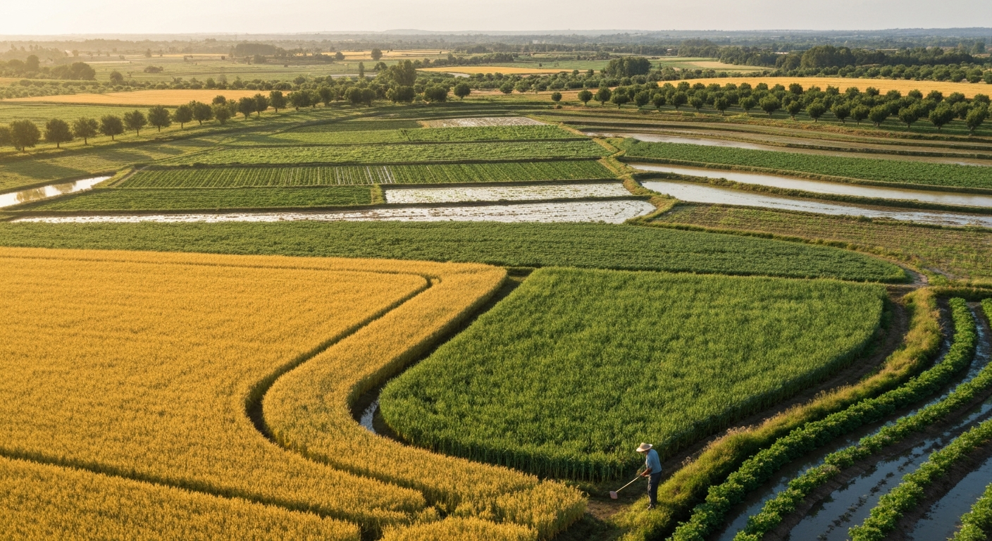
All crops humans grow are domesticated, require human management, and need suitable land and climate.
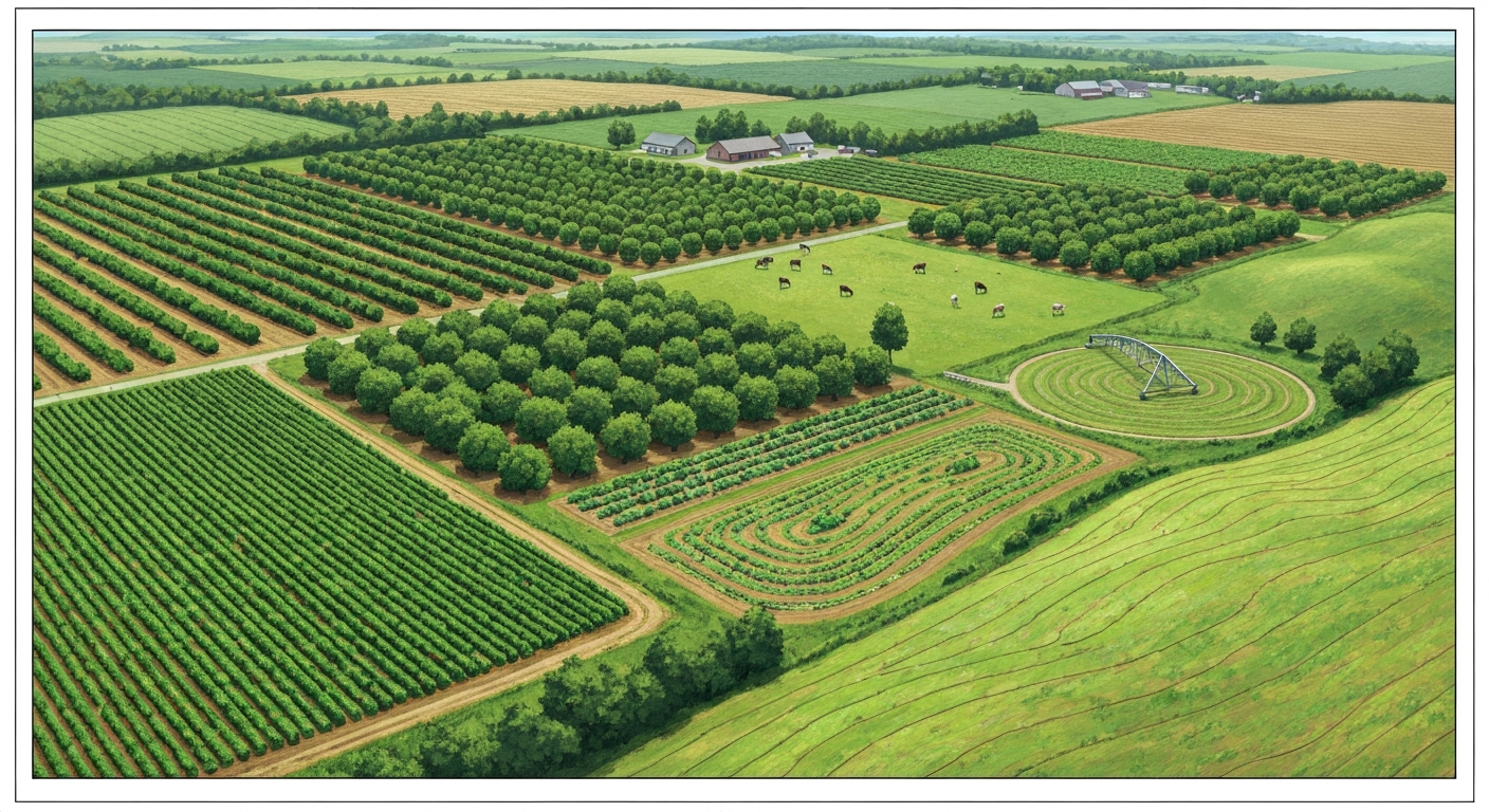
What can I grow on agricultural land: crop choices by climate, soil, water, scale, markets, legal limits, and pasture-to
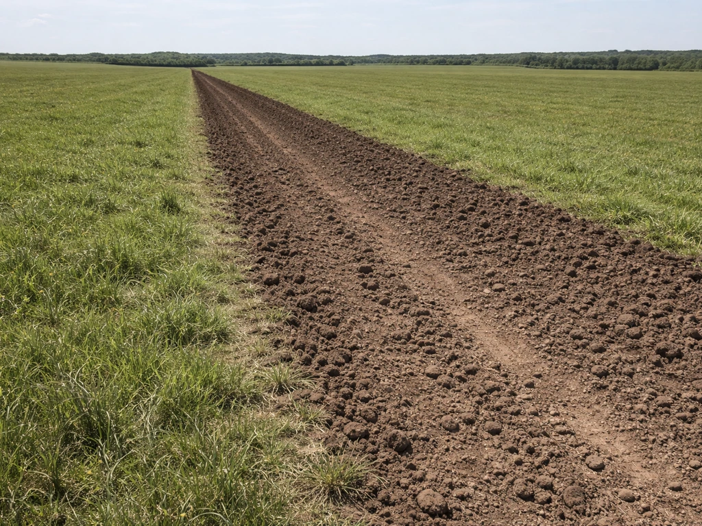
Learn if and how to grow crops on pasture land, including crop picks, soil prep, conversion steps, and common pitfalls.