
Farmers grow their most productive crops on Class I farmland: deep, well-drained, nearly level soils with few or no limitations for sustained cultivation. Soil Data Access, Query Help (sample SQL and AOI examples) notes that To compute Class I acreage from SSURGO: download SSURGO or use SDA spatial SQL to return muaggatt with niccdcd/iccdcd = 'I' (non‑irrigated/irrigated capability = I), join to mapunit area (muacres / muareaoverlap) or mukey grid, and sum acres, SDA Query Help and Tables/Columns Report show the exact column names and sample queries blank" rel="noopener noreferrer">Soil Data Access — Query Help (sample SQL and AOI examples). In the United States, the biggest concentrations sit across the Corn Belt (Iowa, Illinois, Indiana), California's Central Valley, the Mississippi River alluvium, Oregon's Willamette Valley, and the Columbia Basin. Globally, equivalent high-quality cropland covers Argentina's Pampas, India's Indo-Gangetic Plain, China's North China Plain, the Nile Valley, northwestern Europe's loess plains, and New Zealand's Canterbury Plains. What all these places share is the same short list of soil advantages: the right texture, adequate depth, natural drainage, low slope, and a chemistry that lets most major crops thrive without heroic management. For a concise answer to where do farmers grow crops, look to the regions with Class I soils and favorable climate listed above.
Where Do Farmers Grow Crops Class 1: U.S. and Global Overview

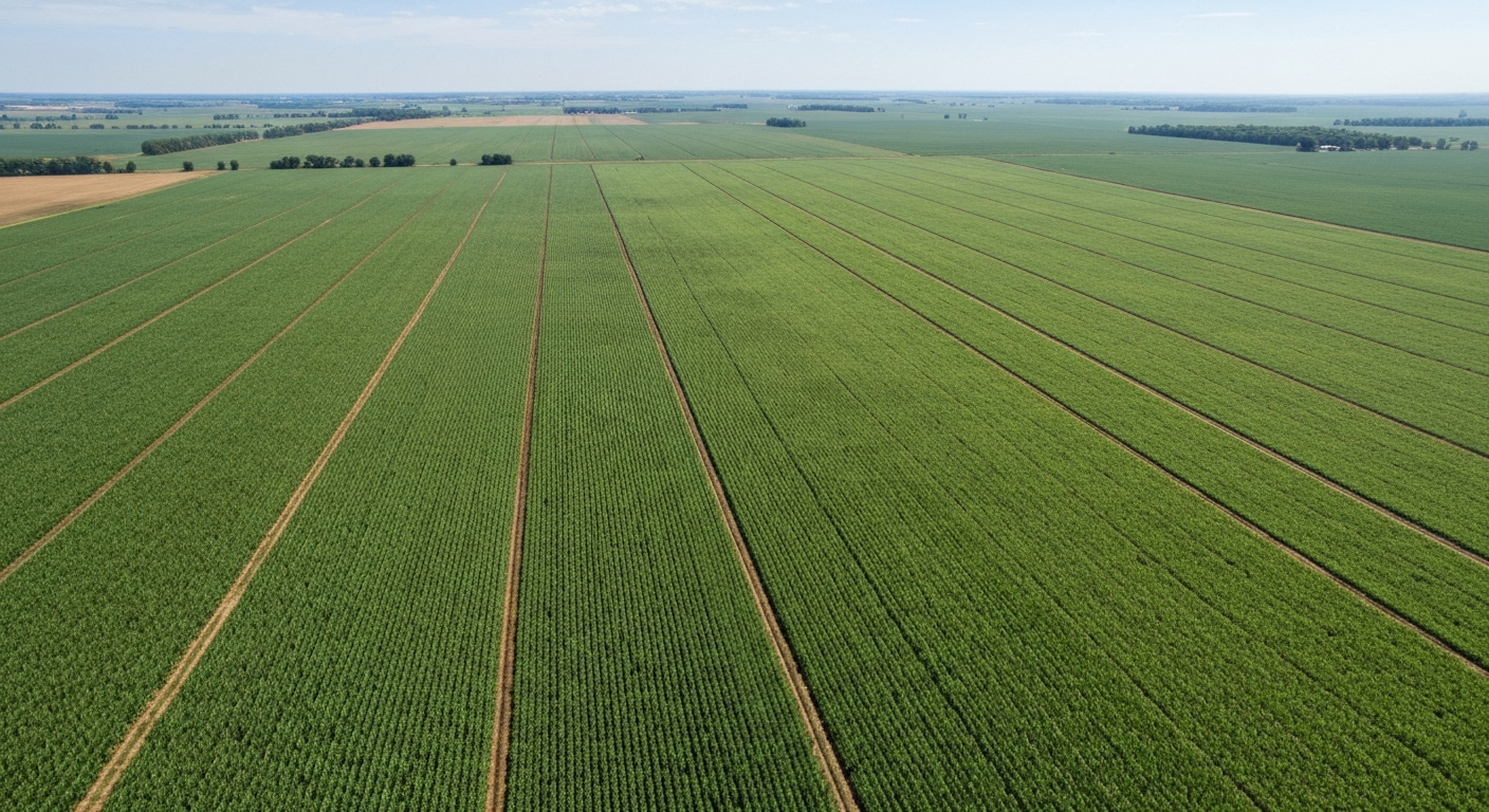
What 'Class I' farmland actually means
The term comes from the USDA Natural Resources Conservation Service (NRCS) Land Capability Classification (LCC), which sorts every mapped soil into one of eight classes. Class I sits at the top. According to the Soil Survey Manual, Class I soils have the fewest limitations for sustained crop production and require the least conservation and management inputs of any class. Classes II through VIII carry progressively greater limitations and progressively narrower choices for agriculture, ranging from slight erosion risk (Class II) all the way to soils suitable only for wildlife habitat (Class VIII). Within Classes II through VII, letter subclasses mark the type of limitation involved: 'e' for erosion hazard, 'w' for wetness, 's' for root-zone problems (shallowness, stones, low water-holding capacity), and 'c' for climate limitations. Class I carries no subclass because, by definition, it has no significant single limitation.
It is worth knowing that the USDA LCC is a U.S.-specific system. Outside the United States, the Food and Agriculture Organization (FAO) uses a land-suitability framework introduced in its 1976 Framework for Land Evaluation. FAO classes run from S1 (highly suitable) through S4 (not suitable), and while S1 land is functionally analogous to USDA Class I, the evaluation criteria, scales, and intended uses differ. When you read about high-quality cropland in international contexts, the FAO system is usually what researchers are referencing, not the USDA LCC.
A separate but related concept is 'Prime Farmland,' a NRCS designation that overlaps heavily with Class I but also includes some Class II soils that meet specific criteria for moisture, temperature, and chemistry. Prime Farmland designations appear in SSURGO data and carry legal weight in some state farmland-protection statutes, so you may encounter both terms when working with soil maps.
Why farmers actively seek out Class I soils
The practical appeal of Class I land comes down to three things: yield potential, management flexibility, and lower production costs. On a deep, well-drained, fertile Class I soil, a corn farmer in central Iowa can expect consistent 200-plus bushel per acre yields with standard inputs. The same genetic hybrid planted on a Class III or IV soil with drainage problems or a shallow root zone will underperform even with additional fertilizer, because the fundamental constraints (compaction risk, waterlogging, erosion vulnerability) are not easily corrected.
Management flexibility means a farmer can rotate corn with soybeans, plant cover crops, use standard tillage or no-till, and adjust input rates without fighting the land. On lesser capability classes, rotation choices narrow because some crops simply cannot tolerate the wetness or slope that defines those classes. Class I land also responds predictably to fertilizer applications, which makes nutrient management planning more reliable and efficient. Conservation requirements are minimal compared to erodible Class IV or VI ground, which in practice means less time, money, and regulatory paperwork spent on conservation compliance.
The physical traits that put a soil in Class I
You can think of Class I soils as hitting a checklist of physical characteristics. Understanding each one helps explain why specific regions dominate the map of top-quality farmland.
- Texture: Loam, silt loam, sandy loam, or clay loam. These mid-range textures balance water retention and aeration. Pure sands drain too fast; heavy clays compact and waterlog too easily.
- Depth: Effective rooting depth of at least 36 inches (90 cm) to any limiting layer (bedrock, hardpan, fragipan, or high water table). Most Class I soils have 48 to 60+ inches of usable profile.
- Drainage: Well-drained or moderately well-drained. Seasonal high water tables are deep enough not to interfere with root development during the growing season.
- Slope: Typically 0 to 2 percent. Erosion becomes a practical limitation above roughly 2 to 3 percent, which starts moving a soil toward Class II 'e' territory.
- Organic matter: Generally 2 to 4 percent or higher in the Ap horizon. Organic matter supports nutrient cycling, water retention, and microbial activity. The thick, dark Mollisol topsoils of the Corn Belt are a textbook example.
- Water-holding capacity: High available water capacity (AWC), meaning the soil stores enough plant-available water between rains or irrigations to sustain crops through short dry spells.
These properties tend to co-occur in specific geologic settings: glacial till plains (Midwest), river floodplains and alluvial fans (Central Valley, Nile Delta), loess deposits (Palouse region, parts of the Corn Belt), and gentle coastal plains. That geological connection is why Class I farmland clusters geographically rather than being scattered at random.
Soil chemistry, pH, and what they mean for crop choices
Soil chemistry on Class I land is generally favorable by definition, but 'favorable' means different things for different crops. Most broadacre crops perform best in a slightly acidic to neutral range, roughly pH 6. For specific crop tolerances and management guidance, see at which ph do most crops grow best. 0 to 7.0, because that window keeps phosphorus, potassium, calcium, magnesium, and most micronutrients soluble and plant-available simultaneously. The native Mollisols of the Corn Belt typically fall naturally in the pH 6.0 to 7.2 range and carry high cation exchange capacity (CEC) values (often 20 to 35 meq/100g), which means they hold and supply nutrients efficiently. Alluvial soils along major rivers tend toward neutral to slightly alkaline (pH 7.0 to 7.8), which suits wheat and many vegetables perfectly well.
| Crop | Optimal pH range | CEC preference | Notes |
|---|---|---|---|
| Corn (maize) | 6.0 – 7.0 | High (>15 meq/100g) | Sensitive to zinc deficiency below pH 6.0 |
| Soybeans | 6.0 – 7.0 | High | Rhizobium nodulation declines markedly below pH 5.8 |
| Winter wheat | 6.0 – 7.5 | Moderate to high | Tolerates mild alkalinity well |
| Rice (paddy) | 5.5 – 7.0 | Moderate | Flooded conditions alter redox and nutrient dynamics |
| Cotton | 5.8 – 7.0 | Moderate | Boron availability important; sensitive to excess sodium |
| Alfalfa | 6.5 – 7.5 | High | Requires adequate calcium; very sensitive to acidity |
| Potatoes | 5.0 – 6.0 | Moderate | Lower pH reduces common scab pressure |
| Grapevines | 5.5 – 7.0 | Moderate | Limestone soils (pH 7.5+) require iron-tolerant rootstocks |
| Rapeseed/canola | 5.5 – 7.0 | Moderate | Club root pathogen favored by pH below 5.5 |
Class I soils typically have high-enough CEC that lime and fertilizer applications produce reliable, predictable responses, which is a major practical advantage. Some notable exceptions exist: blueberries and cranberries need pH 4.5 to 5.5 and are deliberately grown on lower-capability soils or in managed acidic beds rather than on naturally neutral Class I ground. Potatoes, as noted in the table, are also commonly grown at slightly lower pH than a typical Class I Mollisol provides, and growers on Class I prairie soils sometimes acidify lightly to manage scab. These exceptions are worth knowing if you are using soil maps to plan what to plant.
Where Class I soils are concentrated in the United States
The United States has some of the world's largest contiguous blocks of Class I farmland, a fact that underpins its role as a major grain and oilseed exporter. The distribution is not uniform; it follows geology closely.
The Corn Belt and glaciated Midwest
Iowa, Illinois, Indiana, southern Minnesota, and central Ohio hold the largest continuous swaths of Class I and Class II farmland in the country. For a quick guide to states with the most Class I acreage and practical rankings of the best state to grow crops, see this related resource. Most of it developed on late Pleistocene glacial till and glacial lake sediments, which left behind flat topography and a deep deposit of mineral-rich parent material. The resulting soils are predominantly Mollisols (Typic Hapludolls, Typic Endoaquolls) with thick, organic-rich A horizons. Drainage tiles have converted some naturally wet Endoaquolls to effective Class I land, though undrained they would classify as Class II 'w' or Class III 'w'.
California's Central Valley
The Sacramento and San Joaquin Valleys together form one of the world's most productive agricultural corridors. Class I soils here are mostly alluvial, deposited by rivers draining the Sierra Nevada and Coast Ranges. The valley floor holds Entisols and Mollisols on the better-drained fans and terraces, and Vertisols (heavy-cracking clays) on lower positions. Much of the Central Valley Class I acreage is irrigated; the SSURGO database stores both 'Non-Irrigated Capability Class' and 'Irrigated Capability Class' fields, and many Central Valley map units that rate Class II or III under dryland conditions rate Class I under irrigation. Fresno, Kings, Tulare, and Merced counties account for a disproportionate share of U.S. specialty crop production on this land.
Mississippi River alluvium
The Mississippi Alluvial Plain (often called the Delta in common usage) stretches from southern Missouri through eastern Arkansas, western Tennessee, western Mississippi, and into Louisiana. The young, fine-textured alluvial soils here are extremely fertile but require drainage management. Drained Class I and II soils in the Delta are among the most intensively farmed in the country, producing cotton, soybeans, corn, and rice. The Mississippi River's historical flooding created the consistent parent material that makes this region uniformly productive.
Oregon's Willamette Valley
The Willamette Valley between the Coast Range and Cascades in western Oregon contains some of the Pacific Northwest's finest Class I farmland, developed on alluvial and eolian deposits. The valley is known for grass seed production, hazelnuts, wine grapes, berries, and truck vegetables. The mild, maritime climate and deep Willamette series and Amity series soils support a diverse range of crops that would not be economically viable further inland.
The Columbia Basin
The Columbia Basin of central Washington is largely semi-arid, but extensive irrigation from the Columbia Basin Project converted much of it into high-capability cropland. Under irrigated conditions, the deep loess and alluvial soils rate as Class I or II and produce potatoes, corn, wheat, alfalfa, tree fruits, and hops. Without irrigation, the same soils would fall into Class III or IV due to the climate ('c') limitation.
Other notable U.S. concentrations
- Red River Valley (Minnesota/North Dakota border): flat, lacustrine Mollisols from former glacial Lake Agassiz; Class I wheat, sugar beet, and soybean country.
- Palouse Region (eastern Washington/northern Idaho): deep loess-derived soils, some of the most fertile dryland wheat soils in North America, though significant slopes push much acreage into Class IIe.
- Great Plains (Kansas, Nebraska, Oklahoma): Class I in the better-drained loam soils of central and eastern sections; shading into Class II and III moving west as climate becomes the dominant limitation.
- Coastal Plain river bottoms (Georgia, Alabama, Virginia): Class I soils in valley bottoms and terraces, supporting cotton, peanuts, and vegetables.
Where Class I equivalent soils are found worldwide
Outside the U.S., high-quality cropland is assessed through national systems, the FAO land-suitability framework (S1), or modeled from global soil datasets like the blank" rel="noopener noreferrer">Harmonized World Soil Database (HWSD) and ISRIC SoilGrids. The regions below are recognized globally as the closest equivalents to USDA Class I land. For a concise summary of where the best place to grow crops in the world tends to be, see a dedicated overview of top global croplands and their defining features.
| Region | Countries | Dominant soil types | Primary crops |
|---|---|---|---|
| Pampas | Argentina, Uruguay | Mollisols (Pampean loess) | Soybeans, wheat, corn, sunflower |
| Indo-Gangetic Plain | India, Pakistan, Bangladesh | Alluvial Inceptisols and Entisols | Wheat, rice, sugarcane, cotton |
| North China Plain | China (Hebei, Shandong, Henan) | Fluvisols and Cambisols | Wheat, corn, cotton, vegetables |
| Nile Valley and Delta | Egypt, Sudan | Young alluvial Entisols and Vertisols | Cotton, wheat, rice, vegetables |
| European Loess Belt | France, Germany, Poland, Ukraine | Luvisols, Chernozems, Cambisols | Wheat, rapeseed, sugar beet, barley |
| Ukrainian and Russian Chernozem Belt | Ukraine, southern Russia | Chernozems (Mollisols equivalent) | Wheat, sunflower, corn, barley |
| Canterbury Plains | New Zealand | Alluvial Inceptisols | Wheat, barley, potatoes, vegetables, grass seed |
Argentina's Pampas deserves special mention as the southern hemisphere's closest analog to the U.S. Corn Belt. Deep, organic-rich loess soils developed under temperate grassland vegetation, a flat topography, and reliable seasonal rainfall combine to produce FAO S1 land across a massive area of Buenos Aires, Córdoba, and Santa Fe provinces. Soybean and wheat dominate today, but the Pampas have supported cereal and livestock systems for well over a century.
The Indo-Gangetic Plain stretches roughly 2,500 kilometers across the foothills of the Himalayas through northern India and Pakistan. Annual river deposition from the Ganges, Indus, and Brahmaputra systems continuously renews the soil parent material, much like the ancient Nile floods did in Egypt. The plain supports roughly one-third of India's food production despite accounting for a fraction of the country's land area, a testament to the productive capacity of high-quality alluvial soils. The historical relationship between river valleys and agricultural civilization is not coincidental: the Nile, Tigris-Euphrates, Indus, and Yellow River valleys were all settled intensively precisely because their soils combined fertility, renewability, and irrigability.
The Chernozem belt running through Ukraine and southern Russia contains some of the highest organic matter content soils on Earth, with A horizons commonly 80 to 120 cm deep and organic carbon levels of 3 to 6 percent. Pre-war Ukraine was one of the world's top five wheat and sunflower exporters almost entirely because of this soil resource. The European loess belt west of Ukraine, covering northern France through Germany and into Poland, supports intensive wheat, sugar beet, and rapeseed production on deep, stone-free, easily worked soils.
What crops farmers typically grow on Class I soils, by region and climate
Class I land does not prescribe a single crop; it enables a wide range of them. What gets grown on any specific parcel depends on climate, market access, water availability, and farmer preference. For a quick primer on how these factors determine crop locations, see where do crops grow. That said, strong regional patterns exist, and understanding them helps you quickly interpret soil maps and crop data together. For a quick guide to the regions and soil traits that favor particular crops, see where do crops grow best.
Corn Belt (Midwest, humid temperate)
The dominant rotation on Class I Corn Belt soils is corn followed by soybeans, often on a simple two-year cycle. Corn-soy is so prevalent on Iowa and Illinois Class I ground that it is nearly a monoculture at the landscape scale. The deep, high-CEC Mollisols and favorable summer temperatures (consistent 70 to 85°F growing season) make this rotation extremely efficient. Winter wheat occasionally enters a three-year corn-soy-wheat rotation in Indiana and Ohio. Cover crops (cereal rye, crimson clover) are increasingly seeded after corn or soybean harvest to manage erosion and build organic matter, but the commercial crop list on most Class I Midwest ground remains short and corn-soy centered.
Central Valley, California (Mediterranean, irrigated)
California's Class I irrigated soils support the most diverse and highest-value crop mix in the United States. The northern Sacramento Valley concentrates on rice, almonds, tomatoes (processing), prunes, and walnuts. The San Joaquin Valley is the heart of U.S. almond, pistachio, grape, and stone fruit production. Fresno and Tulare counties alone produce a remarkable share of U.S. table grapes, raisins, oranges, and peaches. Vegetables (lettuce, garlic, onions, tomatoes, peppers) rotate through the floor of the valley on deep, well-drained alluvial fans that rate Class I under irrigation. Cotton and alfalfa occupy lower-elevation soils in the southern San Joaquin. Water availability, not soil quality, is the binding constraint on Central Valley Class I land today.
River valleys and alluvial plains (subtropical and tropical)
Where high-quality alluvial soils meet warm climates and reliable surface water, rice and wheat dominate. The Indo-Gangetic Plain runs a wheat-rice double-cropping system through much of Punjab (India and Pakistan) and Haryana, pushing two harvests per year from the same Class-I-equivalent alluvial fields. Bangladesh and the Indian Ganges delta lean heavily on Aman and Boro rice varieties. The North China Plain runs winter wheat followed by summer corn on the same fields, with soybeans and cotton filling remaining acreage. The Nile Valley's irrigated alluvial strips produce wheat and clover in winter, then cotton, rice, and maize in summer. These river-valley systems have sustained intensive double and triple cropping for thousands of years precisely because annual floods or managed irrigation continuously replenished soil nutrients.
Temperate plains (wheat, rapeseed, and beet belts)
The European loess and Chernozem belts are the world's breadbasket in the most literal historical sense. Winter wheat is the anchor crop across France, Germany, Poland, and Ukraine, often rotated with rapeseed (canola), sugar beet, barley, and field beans. The UK's East Anglia region, sitting on deep chalky loams, runs highly productive wheat-rapeseed-barley rotations on its best soils. Argentina's Pampas mirror this pattern in the southern hemisphere: wheat planted in May for harvest in November, followed by soybeans planted in November for March-April harvest. New Zealand's Canterbury Plains concentrate on wheat, barley, potatoes, and cool-season vegetables, plus grass seed exports.
Pacific Northwest (irrigated and dryland)
Irrigated Class I soils in Washington's Columbia Basin produce potatoes (the state is the top U.S. potato producer), corn for seed, hops for brewing, tree fruits (apples, cherries, pears), and spearmint. Oregon's Willamette Valley uses its Class I soils for grass seed (a globally significant export), filbert (hazelnut) orchards, wine grapes, and truck vegetables. The dryland Palouse, where deep loess soils grade between Class IIe and Class I on gentler slopes, has been wheat country for over a century.
How to find and assess Class I soils using authoritative tools
If you need to know whether a specific parcel contains Class I soils, the USDA NRCS provides clear, publicly accessible tools to answer that question.
Web Soil Survey (WSS)
Web Soil Survey is the most accessible starting point for most users. Navigate to the WSS site (websoilsurvey.nrcs.usda.gov), draw or upload an Area of Interest (AOI) around your parcel, and use the Soil Data Explorer tab to pull up Land Capability Classification maps for both irrigated and non-irrigated conditions. WSS will color-code map units by capability class across your AOI and generate a summary table of acreage by class. You can also download the full SSURGO dataset for your AOI as a ZIP file, which includes the mapunit, component, and aggregated interpretation tables with the exact capability class fields.
SSURGO and Soil Data Access (SDA)
For programmatic or large-area analysis, SSURGO accessed through NRCS Soil Data Access (SDA) is the right tool. The SSURGO schema stores land capability in the muaggatt (MAPUNITAGGREGATEDATTRIBUTE) table. The fields to query are niccdcd (non-irrigated capability class, dominant condition) and iccdcd (irrigated capability class, dominant condition). Filtering for niccdcd = 'I' and joining to map unit area data (muacres or muareaoverlap tables) lets you compute Class I acreage for any county, state, or custom polygon. SDA's web interface includes sample SQL queries and table relationship documentation to guide this workflow. The soilDB R package (available on CRAN and maintained by USDA/NCSS) wraps these queries in functions like getSDAmuaggatt() and SDAspatialQuery(), making large-area or scripted analyses significantly more efficient.
Global tools for international assessments
Outside the U.S., the FAO's Harmonized World Soil Database (HWSD v2.0) provides global soil attribute data at approximately 1 km resolution and is the standard baseline for international land quality assessments. ISRIC SoilGrids 2.0 offers higher-resolution (250 m) raster predictions of soil properties including pH, organic carbon, texture, CEC, and available water capacity at standard depths, which can be used to characterize high-quality soil distribution where national capability class maps do not exist. To see where high-quality soils are actually being farmed, the USGS/NASA GFSAD30 global cropland extent product (30 m, Landsat-based) can be overlaid with soil maps to identify Class I or S1 land currently under cultivation. MODIS Land Cover (MCD12Q1) at 500 m is useful for synoptic regional assessments or annual change detection where finer resolution is not needed.
Validating crop presence with USDA NASS
Once you have identified Class I soils in a region, you can confirm what crops are actually being grown there using USDA NASS QuickStats, which provides county-level crop acreage and production data, and the NASS Cropland Data Layer (CDL), an annual 30 m raster showing crop-specific land cover across the contiguous U.S. Overlaying CDL with SSURGO capability class data is a practical way to verify that the crop distribution patterns described in this article hold true for a specific county or watershed.
Practical notes on irrigation, conservation, and land-use constraints
Not all Class I soils are created equal in every context. In semi-arid regions like the Columbia Basin or parts of the High Plains, soils that physically qualify as Class I under irrigated conditions (iccdcd = 'I') may rate as Class III or IV without water (niccdcd reflecting a 'c' or climate limitation). That distinction matters enormously when water rights are uncertain or groundwater is declining, as it is in portions of the Ogallala Aquifer zone. Planning for long-term crop production on technically Class I irrigated land requires water security planning alongside the soil assessment.
Class I land in the U.S. is also a target of farmland protection programs. The USDA's Agricultural Land Easement program (under RCPP and ACEP) prioritizes Prime Farmland and high-capability soils for permanent protection from development. Many states run parallel programs. If you are purchasing, leasing, or planning development on parcels that include Class I soils, state and local Right-to-Farm laws and Agricultural District programs may restrict non-agricultural use or require impact assessments.
For gardeners and small-scale farmers using soil maps to guide site selection, the key takeaway is that Class I designation is a starting point, not a guarantee. Soil maps are surveys, not exhaustive measurements, and map unit delineations often include inclusions of different capability classes within a single polygon. Ground-truthing with a soil probe, a simple pH test, and a drainage observation after heavy rain will always refine what a map unit label tells you.
A brief historical note on Class I land and ancient agriculture
The concentration of early civilizations in river valleys was essentially a pre-scientific recognition of what we now classify as high-capability land. Ancient Egyptian farmers did not have soil maps, but they understood that the black, silty land immediately adjacent to the Nile after annual floods (the 'Black Land' or kemet, from which the Greek word for Egypt may derive) was dramatically more productive than the surrounding desert. The same logic operated in Mesopotamia (Tigris-Euphrates alluvium), the Indus Valley (Indo-Gangetic ancestors), and the Yellow River basin. All of these ancient agricultural cores sit on what modern soil science would recognize as Class I or high S1-equivalent land: flat, deep, fertile, irrigable, and continuously renewed by sediment. The geography of ancient agriculture and the geography of modern Class I soils are not independent facts; they are the same underlying soil reality described in different languages.
FAQ
What does “Class I” farmland mean in land capability and soil‑quality systems?
In the USDA/NRCS Land Capability Classification (LCC) system, Class I denotes soils with the fewest limitations for sustained crop production. Class I soils require the least conservation and management inputs and can support a wide range of crops with minimal risk from erosion, wetness, slope, or other physical constraints. LCC also uses capability subclasses (e.g., ‘e’ for erosion, ‘w’ for wetness) to indicate specific minor limitations. Internationally, FAO land‑suitability categories (S1–S4) are analogous but use different criteria and terminology.
Where are Class I soils commonly found in the United States? Give representative regions and states.
Class I soils are concentrated where deep, fertile, well‑drained alluvial or glacial‑derived soils occur on gentle terrain: - Midwest Corn Belt: central Iowa, Illinois, Indiana, western Ohio (rich Mollisols for corn/soy). - Central Plains river valleys: parts of Nebraska, Kansas, and eastern Colorado floodplains. - California Central Valley: prime alluvial soils (many irrigated, used for fruits/vegetables). - Pacific Northwest valleys: Willamette Valley (Oregon) and parts of Washington (irrigated high‑quality soils). - Atlantic Coastal Plain pockets: parts of eastern North Carolina and southeastern Virginia for certain crops. - Gulf Coast river deltas and terraces: parts of Mississippi, Louisiana (where drainage allows).
Where are top‑quality (Class I or equivalent) croplands found worldwide?
High‑quality croplands occur where deep, fertile soils coincide with favorable climate and flat to gently rolling terrain: - Major river floodplains/deltas (Indo‑Gangetic Plain, Nile Delta, Mekong Delta). - Temperate grain belts (Ukraine/Black Sea region, North China Plain). - Alluvial basins (European lowlands, parts of Argentina Pampas). - Irrigated valleys (Egypt, parts of Central Asia, California Central Valley globally analogous). Where national LCC maps aren’t available, global soil products such as ISRIC SoilGrids and the Harmonized World Soil Database indicate likely high‑quality soil areas.
Which crops are typically grown on Class I soils by region and climate?
Typical crops reflect climate and market: - Temperate Midwest (humid continental): corn (maize), soybean, small grains (wheat/ barley), alfalfa. - Mediterranean/California (hot dry summers, irrigation): vegetables, specialty fruits (tree fruits, grapes, almonds), vegetables, processing tomatoes. - Irrigated arid/semi‑arid valleys: cotton, rice (in flooded fields), high‑value horticulture. - River valleys (temperate/subtropical): cereals (wheat, rice), sugarcane (tropical/subtropical), mixed cropping. - Temperate maritime (e.g., Willamette Valley): vegetables, berries, seed crops, grass seed. Local cropping choices also depend on water availability, market access and agronomic practices.
How does soil chemistry—especially pH—affect crop suitability on Class I soils?
Soil pH and chemistry strongly influence nutrient availability and crop choice: - pH: Most row crops (corn, soybean, wheat, vegetables) prefer roughly pH 6.0–7.5. Acidic soils (pH <5.5) can limit phosphorus, molybdenum and increase aluminum toxicity; liming is common. Very alkaline soils (pH >8.0) reduce availability of iron, manganese, zinc and can restrict some vegetables. - Organic matter: Higher organic carbon improves water retention, nutrient buffering and microbial activity—beneficial for most crops. - Texture and CEC: Loam to silt‑loam textures with moderate to high cation exchange capacity (CEC) are ideal for nutrient retention; sandy soils need more frequent nutrient and water management. - Salinity and Sodicity: In arid irrigated areas, salt buildup can limit crop choice; salt‑tolerant crops or improved drainage/irrigation management are required.
How can I locate and quantify Class I acreage in the U.S. using authoritative tools?
Primary NRCS tools and data: - Web Soil Survey (WSS): web interface to draw an Area of Interest (AOI), view Land Capability Class maps, and download SSURGO/STATSGO data for the AOI. - Soil Data Access (SDA): web services and SQL queries to extract SSURGO tables (mapunit, component, MAPUNIT_AGGREGATED_ATTRIBUTE) programmatically. - SSURGO/Mapunit attributes: query fields 'Non‑Irrigated Capability Class' (nicc_dcd) and 'Irrigated Capability Class' (icc_dcd) in MAPUNIT_AGGREGATED_ATTRIBUTE to find entries equal to 'I' (Class I). - Steps: draw AOI in WSS or supply AOI to SDA; download SSURGO or run SDA spatial SQL to retrieve muaggatt rows where icc_dcd/nicc_dcd = 'I'; join to mapunit area (muacres or mukey grid) and sum acres. Use soilDB (R) or replicate SQL via SDA for programmatic workflows.
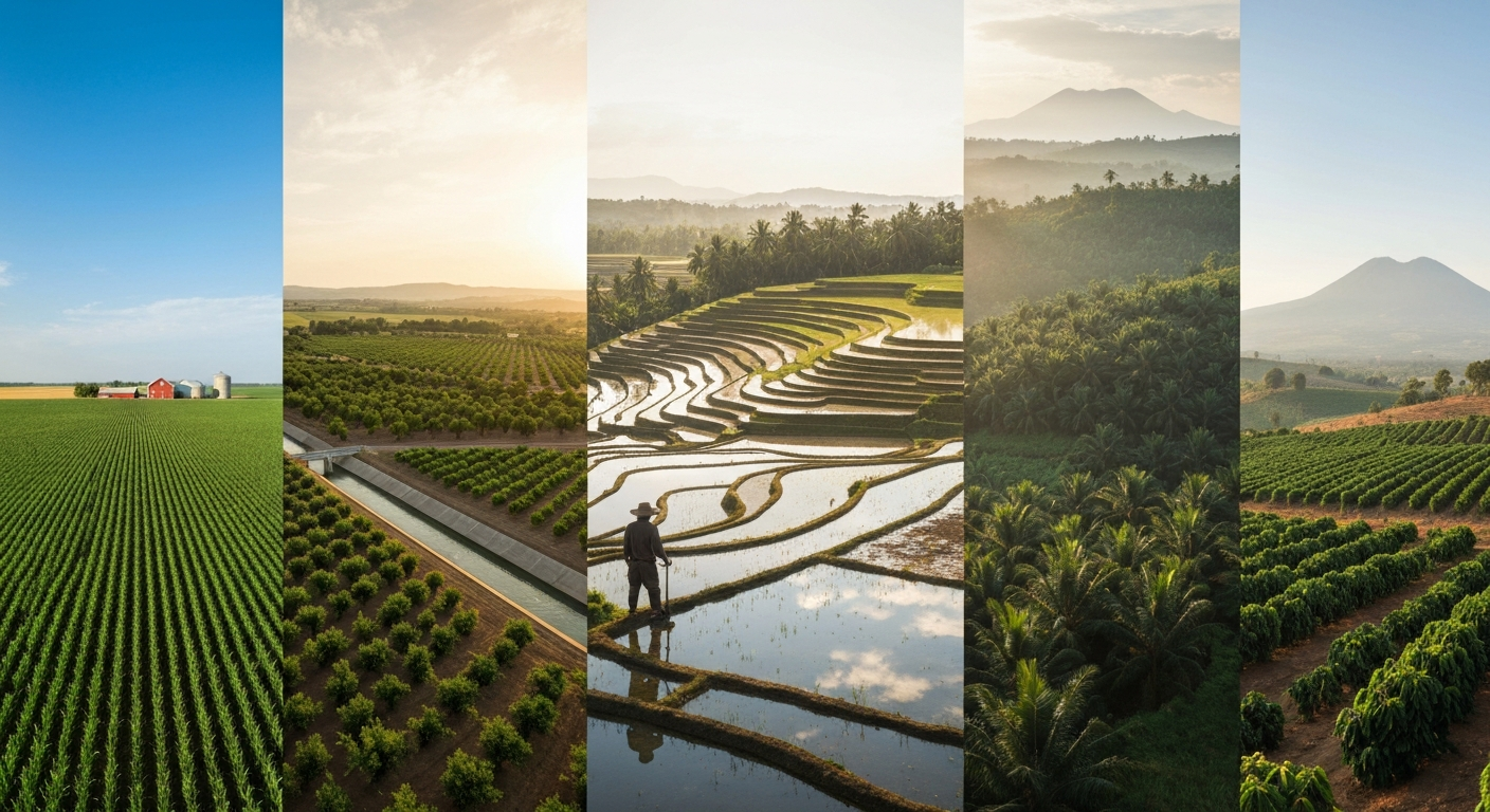
Where do farmers grow crops: global, U.S. and historical maps, soil & climate guides, top regions and crop choices.
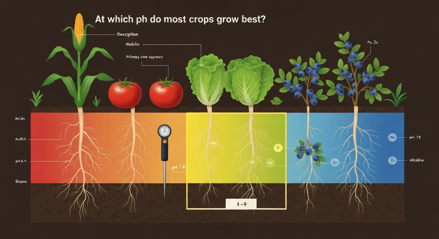
Find the optimum pH for most food crops, crop-by-crop ranges, testing and amendment steps, regional tips.
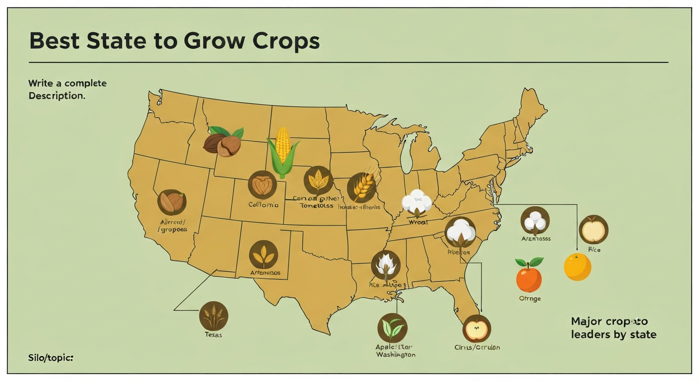
Discover which U.S. states are best for growing major crops, why they excel, and how to choose the right region.